

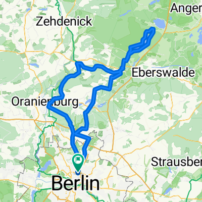
Die Eberswalde Extension 2
A cycling route starting in Gesundbrunnen, State of Berlin, Germany.
Overview
About this route
The unavoidable way out of Berlin is then rewarded by low-traffic country roads. A very nice tour through the countryside. With wind from the NE, the first 45 km can be really tough.
- -:--
- Duration
- 119.3 km
- Distance
- 342 m
- Ascent
- 342 m
- Descent
- ---
- Avg. speed
- 98 m
- Max. altitude

Route quality
Waytypes & surfaces along the route
Waytypes
Road
15.5 km
(13 %)
Quiet road
13.1 km
(11 %)
Surfaces
Paved
91.9 km
(77 %)
Unpaved
4.8 km
(4 %)
Asphalt
90.7 km
(76 %)
Ground
2.4 km
(2 %)
Continue with Bikemap
Use, edit, or download this cycling route
You would like to ride Die Eberswalde Extension 2 or customize it for your own trip? Here is what you can do with this Bikemap route:
Free features
- Save this route as favorite or in collections
- Copy & plan your own version of this route
- Split it into stages to create a multi-day tour
- Sync your route with Garmin or Wahoo
Premium features
Free trial for 3 days, or one-time payment. More about Bikemap Premium.
- Navigate this route on iOS & Android
- Export a GPX / KML file of this route
- Create your custom printout (try it for free)
- Download this route for offline navigation
Discover more Premium features.
Get Bikemap PremiumFrom our community
Other popular routes starting in Gesundbrunnen
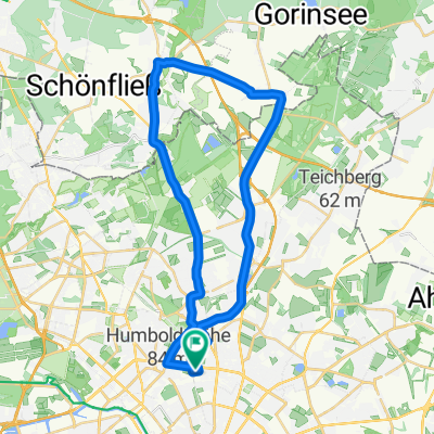
 Grunewald Runde von Mitte aus
- Distance
- 44.6 km
- Ascent
- 165 m
- Descent
- 158 m
- Location
- Gesundbrunnen, State of Berlin, Germany
 Prenzlauer Berg, Mühlenbeck, Blankenfelde
- Distance
- 33.8 km
- Ascent
- 44 m
- Descent
- 46 m
- Location
- Gesundbrunnen, State of Berlin, Germany
 Feierabendrunde für den Norden
- Distance
- 67.1 km
- Ascent
- 61 m
- Descent
- 56 m
- Location
- Gesundbrunnen, State of Berlin, Germany
 werbellinsee westanfahrt
- Distance
- 153.9 km
- Ascent
- 680 m
- Descent
- 680 m
- Location
- Gesundbrunnen, State of Berlin, Germany
 Die Eberswalde Extension 2
- Distance
- 119.3 km
- Ascent
- 342 m
- Descent
- 342 m
- Location
- Gesundbrunnen, State of Berlin, Germany
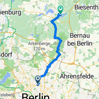 Norwegerstraße, Berlin nach Der 66-Seen-Wanderweg, Wandlitz
- Distance
- 31.1 km
- Ascent
- 116 m
- Descent
- 104 m
- Location
- Gesundbrunnen, State of Berlin, Germany
 Feierabendrunde - Versuch 1
- Distance
- 21.4 km
- Ascent
- 35 m
- Descent
- 35 m
- Location
- Gesundbrunnen, State of Berlin, Germany
 Prenzlauer Berg <-> Wandlitz
- Distance
- 54.4 km
- Ascent
- 79 m
- Descent
- 79 m
- Location
- Gesundbrunnen, State of Berlin, Germany
Open it in the app