
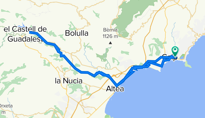
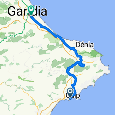
CALPE GUADALEST
A cycling route starting in Calpe, Valencia, Spain.
Overview
About this route
- -:--
- Duration
- 66.2 km
- Distance
- 709 m
- Ascent
- 712 m
- Descent
- ---
- Avg. speed
- 366 m
- Max. altitude

Continue with Bikemap
Use, edit, or download this cycling route
You would like to ride CALPE GUADALEST or customize it for your own trip? Here is what you can do with this Bikemap route:
Free features
- Save this route as favorite or in collections
- Copy & plan your own version of this route
- Sync your route with Garmin or Wahoo
Premium features
Free trial for 3 days, or one-time payment. More about Bikemap Premium.
- Navigate this route on iOS & Android
- Export a GPX / KML file of this route
- Create your custom printout (try it for free)
- Download this route for offline navigation
Discover more Premium features.
Get Bikemap PremiumFrom our community
Other popular routes starting in Calpe
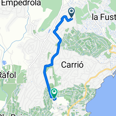 Urb. Gran Sol, Calpe naar Calpe
- Distance
- 2.7 km
- Ascent
- 17 m
- Descent
- 91 m
- Location
- Calpe, Valencia, Spain
 La Marina Alta: Calp-Benissa-Calp per camins i urbanitzacions
- Distance
- 25.9 km
- Ascent
- 573 m
- Descent
- 573 m
- Location
- Calpe, Valencia, Spain
 Rute 3, grønn 86km
- Distance
- 86.1 km
- Ascent
- 842 m
- Descent
- 831 m
- Location
- Calpe, Valencia, Spain
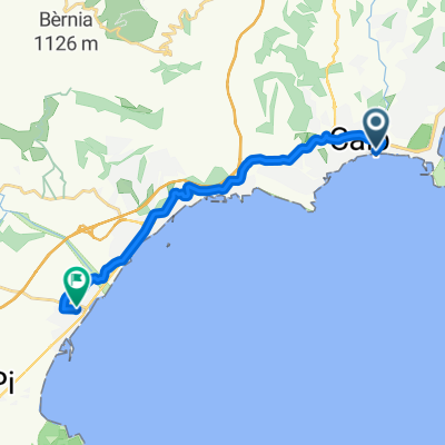 Calle Balandros, Calpe to Calle del Belén, Altea
- Distance
- 14.2 km
- Ascent
- 205 m
- Descent
- 159 m
- Location
- Calpe, Valencia, Spain
 calpe run 3
- Distance
- 11 km
- Ascent
- 208 m
- Descent
- 222 m
- Location
- Calpe, Valencia, Spain
 Langs de mooie vallei van Lliber!!
- Distance
- 55.6 km
- Ascent
- 598 m
- Descent
- 598 m
- Location
- Calpe, Valencia, Spain
 Calpe - Bellreguard
- Distance
- 70.4 km
- Ascent
- 1,041 m
- Descent
- 1,042 m
- Location
- Calpe, Valencia, Spain
 CALPE GUADALEST
- Distance
- 66.2 km
- Ascent
- 709 m
- Descent
- 712 m
- Location
- Calpe, Valencia, Spain
Open it in the app