
Landshut - Landau
A cycling route starting in Landshut, Bavaria, Germany.
Overview
About this route
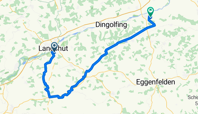
von Landshut zum Golfclub Landau, folgende Strecke: Landshut - Zweikirchen - Vilsheim - Ramperting - Großstockach - Taufkirchen - Velden - Obervilslern - Vilsbiburg - Aham - Steinberg - Reichersdorf - Höferöd - Golfclub Landau
- -:--
- Duration
- 100.6 km
- Distance
- 233 m
- Ascent
- 289 m
- Descent
- ---
- Avg. speed
- ---
- Max. altitude
Route quality
Waytypes & surfaces along the route
Waytypes
Road
45.3 km
(45 %)
Quiet road
26.2 km
(26 %)
Surfaces
Paved
82.5 km
(82 %)
Unpaved
3 km
(3 %)
Asphalt
81.5 km
(81 %)
Gravel
2 km
(2 %)
Continue with Bikemap
Use, edit, or download this cycling route
You would like to ride Landshut - Landau or customize it for your own trip? Here is what you can do with this Bikemap route:
Free features
- Save this route as favorite or in collections
- Copy & plan your own version of this route
- Split it into stages to create a multi-day tour
- Sync your route with Garmin or Wahoo
Premium features
Free trial for 3 days, or one-time payment. More about Bikemap Premium.
- Navigate this route on iOS & Android
- Export a GPX / KML file of this route
- Create your custom printout (try it for free)
- Download this route for offline navigation
Discover more Premium features.
Get Bikemap PremiumFrom our community
Other popular routes starting in Landshut
 hidden Trails
- Distance
- 42.9 km
- Ascent
- 784 m
- Descent
- 785 m
- Location
- Landshut, Bavaria, Germany
 Landshut 01
- Distance
- 22 km
- Ascent
- 20 m
- Descent
- 19 m
- Location
- Landshut, Bavaria, Germany
 Landshut - München
- Distance
- 75 km
- Ascent
- 124 m
- Descent
- 14 m
- Location
- Landshut, Bavaria, Germany
 Schöne 100 Runde
- Distance
- 101.5 km
- Ascent
- 309 m
- Descent
- 307 m
- Location
- Landshut, Bavaria, Germany
 Landshut-Vilsbiburg
- Distance
- 66.2 km
- Ascent
- 756 m
- Descent
- 754 m
- Location
- Landshut, Bavaria, Germany
 Single Trails Eugenbach
- Distance
- 24.6 km
- Ascent
- 595 m
- Descent
- 595 m
- Location
- Landshut, Bavaria, Germany
 Route in Landshut
- Distance
- 38.8 km
- Ascent
- 483 m
- Descent
- 479 m
- Location
- Landshut, Bavaria, Germany
 Mittlere Tour von Ergolding zum Kloster Mallersdorf
- Distance
- 80.3 km
- Ascent
- 273 m
- Descent
- 272 m
- Location
- Landshut, Bavaria, Germany
Open it in the app