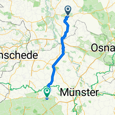
Thuine-Venslage-Messingen-Thuine
A cycling route starting in Thuine, Lower Saxony, Germany.
Overview
About this route
- 50 min
- Duration
- 14.1 km
- Distance
- 31 m
- Ascent
- 32 m
- Descent
- 17 km/h
- Avg. speed
- 50 m
- Max. altitude
Route quality
Waytypes & surfaces along the route
Waytypes
Quiet road
6 km
(43 %)
Busy road
5 km
(36 %)
Surfaces
Paved
10 km
(71 %)
Unpaved
0.2 km
(1 %)
Asphalt
8.3 km
(59 %)
Paved (undefined)
1.7 km
(12 %)
Continue with Bikemap
Use, edit, or download this cycling route
You would like to ride Thuine-Venslage-Messingen-Thuine or customize it for your own trip? Here is what you can do with this Bikemap route:
Free features
- Save this route as favorite or in collections
- Copy & plan your own version of this route
- Sync your route with Garmin or Wahoo
Premium features
Free trial for 3 days, or one-time payment. More about Bikemap Premium.
- Navigate this route on iOS & Android
- Export a GPX / KML file of this route
- Create your custom printout (try it for free)
- Download this route for offline navigation
Discover more Premium features.
Get Bikemap PremiumFrom our community
Other popular routes starting in Thuine
- Thuine-Venslage-Messingen-Thuine
- Distance
- 14.1 km
- Ascent
- 31 m
- Descent
- 32 m
- Location
- Thuine, Lower Saxony, Germany
- Waldfreibad Freren
- Distance
- 5.7 km
- Ascent
- 47 m
- Descent
- 59 m
- Location
- Thuine, Lower Saxony, Germany
- Kunkenvenne 3, Thuine nach Kunkenvenne 3, Thuine
- Distance
- 17.3 km
- Ascent
- 59 m
- Descent
- 101 m
- Location
- Thuine, Lower Saxony, Germany
- Thuine-Lingen-Emsbüren-Lünne-Beesten-Thuine
- Distance
- 73 km
- Ascent
- 287 m
- Descent
- 286 m
- Location
- Thuine, Lower Saxony, Germany
- thuine nach rentrup
- Distance
- 4.4 km
- Ascent
- 24 m
- Descent
- 33 m
- Location
- Thuine, Lower Saxony, Germany
- Thuine-Haselünne
- Distance
- 24.8 km
- Ascent
- 66 m
- Descent
- 99 m
- Location
- Thuine, Lower Saxony, Germany
- Kunkenvenne 3, Thuine nach B214 33, Fürstenau
- Distance
- 19.7 km
- Ascent
- 60 m
- Descent
- 64 m
- Location
- Thuine, Lower Saxony, Germany
- Kolpingstraße 1, Thuine nach Forstweg 11, Lingen (Ems)
- Distance
- 17.8 km
- Ascent
- 12 m
- Descent
- 40 m
- Location
- Thuine, Lower Saxony, Germany
Open it in the app