Boucle Cap -Shawi
- 95.5 km
- 147 m
- 146 m
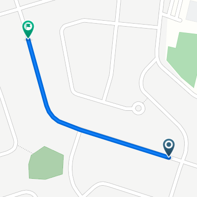
- Trois-Rivières, Quebec, Canada
A cycling route starting in Trois-Rivières, Quebec, Canada.
Overview
This route is paved, except between Chemin Masse and Mont Carmel (bike path), which is paved with stone dust. In my opinion, this route is more visually appealing than going via 157 (boul. Thibeault).
created this 14 years ago
Route quality
Road
32.9 km
(46 %)
Cycleway
12.2 km
(17 %)
Paved
37.2 km
(52 %)
Unpaved
3.6 km
(5 %)
Asphalt
37.2 km
(52 %)
Gravel
3.6 km
(5 %)
Undefined
30.7 km
(43 %)
Route highlights
Parc avec toilettes chimiques.
Halte repos, toilettes.
Continue with Bikemap
You would like to ride J1 Visite JF or customize it for your own trip? Here is what you can do with this Bikemap route:
Free trial for 3 days, or one-time payment. More about Bikemap Premium.
Discover more Premium features.
Get Bikemap PremiumFrom our community
Open it in the app