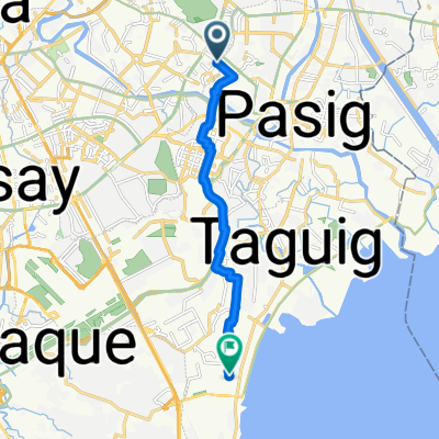
Moderate route
- 18.2 km
- 256 m
- 274 m
- Pasig, National Capital Region, Philippines
A cycling route starting in Pasig, National Capital Region, Philippines.
Overview
created this 4 years ago
Route quality
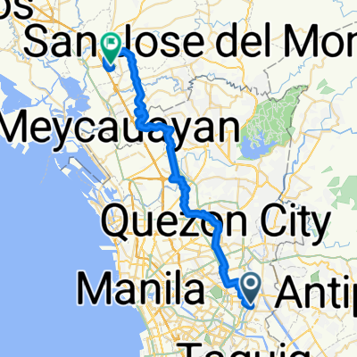
Access road
1.1 km
(6 %)
Road
0.6 km
(3 %)
Paved
17.8 km
(93 %)
Asphalt
13 km
(68 %)
Concrete
4.8 km
(25 %)
Undefined
1.3 km
(7 %)
Continue with Bikemap
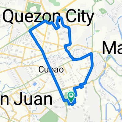
You would like to ride Mahabang Parang via Tikling or customize it for your own trip? Here is what you can do with this Bikemap route:
Free trial for 3 days, or one-time payment. More about Bikemap Premium.
Discover more Premium features.
Get Bikemap PremiumFrom our community
Open it in the app