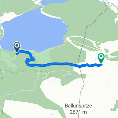
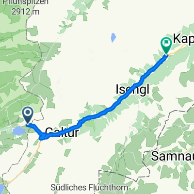
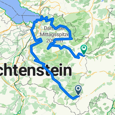
Gravel Austria, Etappe Vorarlberg
- 260.5 km
- 5,896 m
- 6,223 m
- Galtür, Tyrol, Austria
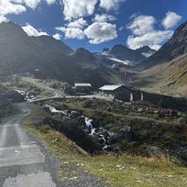
A cycling route starting in Galtür, Tyrol, Austria.
Overview
The more information you write here, the more useful it will be for other users.* Course of the route.* What is special about this route?* Why recommend this route?* What did you like most here?* etc.
created this 14 years ago
Route quality
Quiet road
13.3 km
(14 %)
Path
6.7 km
(7 %)
Paved
90.6 km
(95 %)
Unpaved
1.9 km
(2 %)
Asphalt
90.6 km
(95 %)
Gravel
1.9 km
(2 %)
Undefined
2.9 km
(3 %)
Continue with Bikemap
You would like to ride cyklotour2011_2 or customize it for your own trip? Here is what you can do with this Bikemap route:
Free trial for 3 days, or one-time payment. More about Bikemap Premium.
Discover more Premium features.
Get Bikemap PremiumFrom our community
Open it in the app