

Lake Michigan Tour- Day 14
A cycling route starting in Shorewood-Tower Hills-Harbert, Michigan, United States.
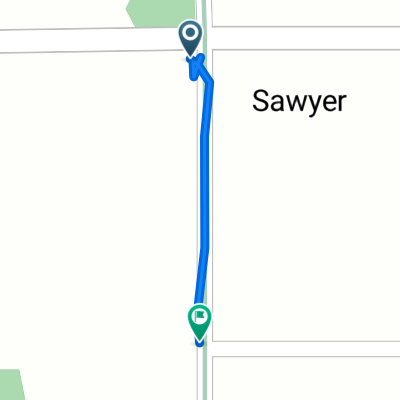
Overview
About this route
KC house
- -:--
- Duration
- 129.5 km
- Distance
- 76 m
- Ascent
- 91 m
- Descent
- ---
- Avg. speed
- 211 m
- Max. altitude
Route quality
Waytypes & surfaces along the route
Waytypes
Road
33.7 km
(26 %)
Cycleway
33.7 km
(26 %)
Surfaces
Paved
76.4 km
(59 %)
Asphalt
73.8 km
(57 %)
Paved (undefined)
1.3 km
(1 %)
Continue with Bikemap
Use, edit, or download this cycling route
You would like to ride Lake Michigan Tour- Day 14 or customize it for your own trip? Here is what you can do with this Bikemap route:
Free features
- Save this route as favorite or in collections
- Copy & plan your own version of this route
- Split it into stages to create a multi-day tour
- Sync your route with Garmin or Wahoo
Premium features
Free trial for 3 days, or one-time payment. More about Bikemap Premium.
- Navigate this route on iOS & Android
- Export a GPX / KML file of this route
- Create your custom printout (try it for free)
- Download this route for offline navigation
Discover more Premium features.
Get Bikemap PremiumFrom our community
Other popular routes starting in Shorewood-Tower Hills-Harbert
 bike tour through Lake
- Distance
- 10.7 km
- Ascent
- 50 m
- Descent
- 50 m
- Location
- Shorewood-Tower Hills-Harbert, Michigan, United States
 Pardee Rd to Warren Dunes
- Distance
- 12.7 km
- Ascent
- 20 m
- Descent
- 20 m
- Location
- Shorewood-Tower Hills-Harbert, Michigan, United States
 Harbert Road 7720, Three Oaks to Harbert Road 7960, Three Oaks
- Distance
- 40.3 km
- Ascent
- 209 m
- Descent
- 168 m
- Location
- Shorewood-Tower Hills-Harbert, Michigan, United States
 13340–13412 Flynn Rd, Harbert to 4967–5017 Wee-Chik Rd, Sawyer
- Distance
- 18 km
- Ascent
- 115 m
- Descent
- 118 m
- Location
- Shorewood-Tower Hills-Harbert, Michigan, United States
 Pardee Rd to Galien River County Park
- Distance
- 20.1 km
- Ascent
- 59 m
- Descent
- 52 m
- Location
- Shorewood-Tower Hills-Harbert, Michigan, United States
 ride through Chikaming
- Distance
- 28.1 km
- Ascent
- 68 m
- Descent
- 67 m
- Location
- Shorewood-Tower Hills-Harbert, Michigan, United States
 5712 Sawyer Rd, Harbert to 12950 Flynn Rd, Harbert
- Distance
- 0.1 km
- Ascent
- 0 m
- Descent
- 0 m
- Location
- Shorewood-Tower Hills-Harbert, Michigan, United States
 day after chicago
- Distance
- 111.5 km
- Ascent
- 259 m
- Descent
- 197 m
- Location
- Shorewood-Tower Hills-Harbert, Michigan, United States
Open it in the app