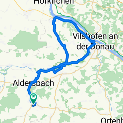
Tittling-Aicha vorm Wald
A cycling route starting in Aidenbach, Bavaria, Germany.
Overview
About this route
- 4 h 57 min
- Duration
- 101.7 km
- Distance
- 1,397 m
- Ascent
- 1,399 m
- Descent
- 20.6 km/h
- Avg. speed
- ---
- Max. altitude
Route photos
Route quality
Waytypes & surfaces along the route
Waytypes
Quiet road
38.1 km
(37 %)
Path
30.4 km
(30 %)
Surfaces
Paved
62.4 km
(61 %)
Unpaved
14.8 km
(15 %)
Asphalt
54.2 km
(53 %)
Paved (undefined)
7.8 km
(8 %)
Continue with Bikemap
Use, edit, or download this cycling route
You would like to ride Tittling-Aicha vorm Wald or customize it for your own trip? Here is what you can do with this Bikemap route:
Free features
- Save this route as favorite or in collections
- Copy & plan your own version of this route
- Split it into stages to create a multi-day tour
- Sync your route with Garmin or Wahoo
Premium features
Free trial for 3 days, or one-time payment. More about Bikemap Premium.
- Navigate this route on iOS & Android
- Export a GPX / KML file of this route
- Create your custom printout (try it for free)
- Download this route for offline navigation
Discover more Premium features.
Get Bikemap PremiumFrom our community
Other popular routes starting in Aidenbach
- Schnelle Tour in
- Distance
- 4.6 km
- Ascent
- 77 m
- Descent
- 26 m
- Location
- Aidenbach, Bavaria, Germany
- Birkenstraße, Aidenbach nach Birkenstraße, Aidenbach
- Distance
- 38.1 km
- Ascent
- 248 m
- Descent
- 245 m
- Location
- Aidenbach, Bavaria, Germany
- Hollerbacher Straße 25, Aidenbach nach Oberschöllnacher Straße 5, Hofkirchen
- Distance
- 23.4 km
- Ascent
- 135 m
- Descent
- 170 m
- Location
- Aidenbach, Bavaria, Germany
- Einfache Fahrt in Vilshofen an der Donau
- Distance
- 11.2 km
- Ascent
- 64 m
- Descent
- 56 m
- Location
- Aidenbach, Bavaria, Germany
- Birkenstraße, Aidenbach nach Birkenstraße, Aidenbach
- Distance
- 38.8 km
- Ascent
- 355 m
- Descent
- 341 m
- Location
- Aidenbach, Bavaria, Germany
- Marktplatz 29, Aidenbach nach Michl-Natter-Straße 2, Vilshofen an der Donau
- Distance
- 9.1 km
- Ascent
- 278 m
- Descent
- 374 m
- Location
- Aidenbach, Bavaria, Germany
- Birkenstraße, Aidenbach nach Altersham, Pfarrkirchen
- Distance
- 27.9 km
- Ascent
- 430 m
- Descent
- 406 m
- Location
- Aidenbach, Bavaria, Germany
- Tittling-Aicha vorm Wald
- Distance
- 101.7 km
- Ascent
- 1,397 m
- Descent
- 1,399 m
- Location
- Aidenbach, Bavaria, Germany
Open it in the app