

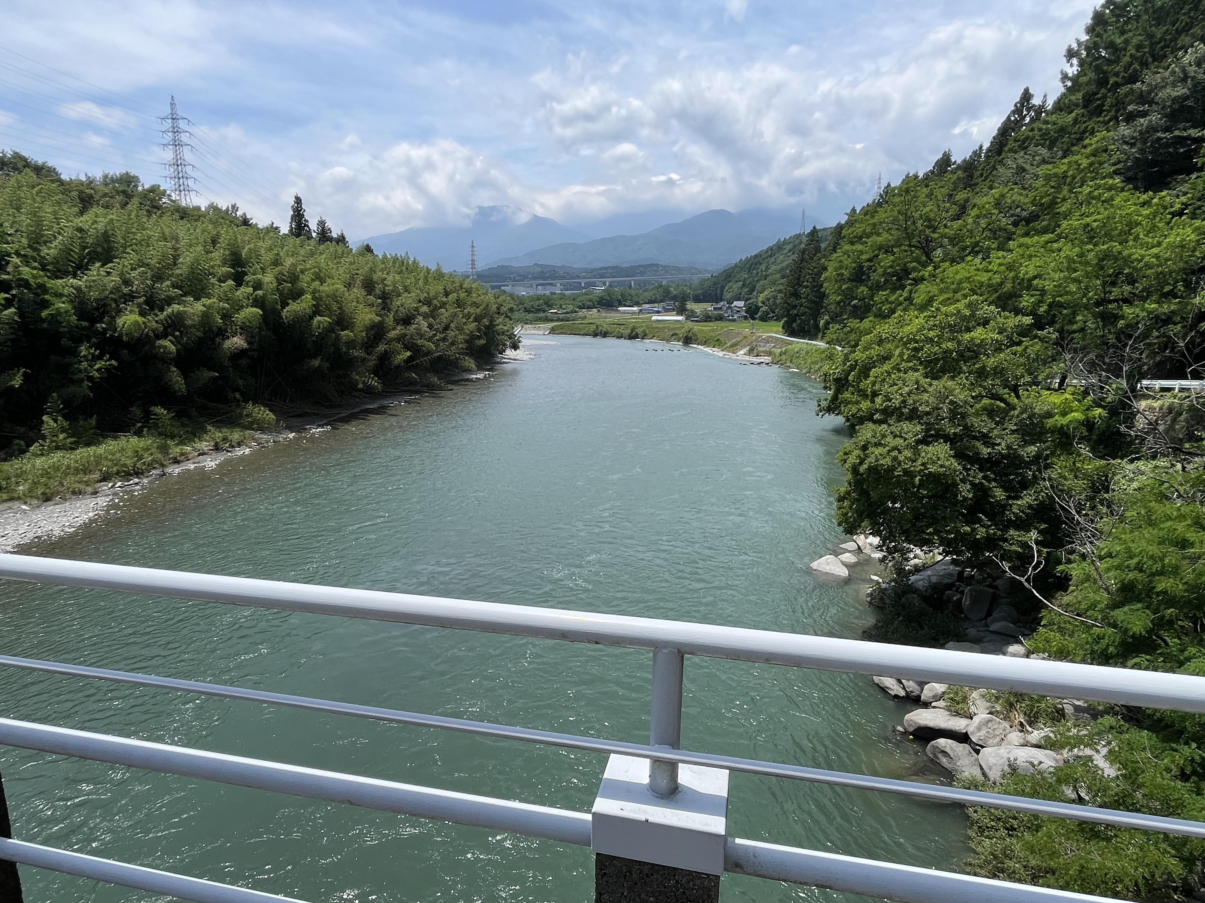
こもれ陽の径ライド
A cycling route starting in Ina, Nagano, Japan.
Overview
About this route
- -:--
- Duration
- 8.7 km
- Distance
- 201 m
- Ascent
- 204 m
- Descent
- ---
- Avg. speed
- 889 m
- Max. altitude

Continue with Bikemap
Use, edit, or download this cycling route
You would like to ride こもれ陽の径ライド or customize it for your own trip? Here is what you can do with this Bikemap route:
Free features
- Save this route as favorite or in collections
- Copy & plan your own version of this route
- Sync your route with Garmin or Wahoo
Premium features
Free trial for 3 days, or one-time payment. More about Bikemap Premium.
- Navigate this route on iOS & Android
- Export a GPX / KML file of this route
- Create your custom printout (try it for free)
- Download this route for offline navigation
Discover more Premium features.
Get Bikemap PremiumFrom our community
Other popular routes starting in Ina
 tag 5
tag 5- Distance
- 48.1 km
- Ascent
- 762 m
- Descent
- 1,008 m
- Location
- Ina, Nagano, Japan
 絶景アルプス巡礼ライド
- Distance
- 20.3 km
- Ascent
- 424 m
- Descent
- 379 m
- Location
- Ina, Nagano, Japan
 こもれ陽の径ライド
- Distance
- 8.7 km
- Ascent
- 201 m
- Descent
- 204 m
- Location
- Ina, Nagano, Japan
 takatoojou
- Distance
- 218.1 km
- Ascent
- 3,814 m
- Descent
- 4,605 m
- Location
- Ina, Nagano, Japan
 3497-3, Arai, Ina to 国道19号, Nagiso, Kiso-Gun
- Distance
- 90.1 km
- Ascent
- 12,192 m
- Descent
- 12,453 m
- Location
- Ina, Nagano, Japan
 下市場, 駒ヶ根市へ下市場, 駒ヶ根市
- Distance
- 15.5 km
- Ascent
- 406 m
- Descent
- 399 m
- Location
- Ina, Nagano, Japan
 x1.gpx
- Distance
- 306.3 km
- Ascent
- 10,866 m
- Descent
- 11,369 m
- Location
- Ina, Nagano, Japan
 高遠城下町巡りライド
- Distance
- 6.5 km
- Ascent
- 180 m
- Descent
- 179 m
- Location
- Ina, Nagano, Japan
Open it in the app