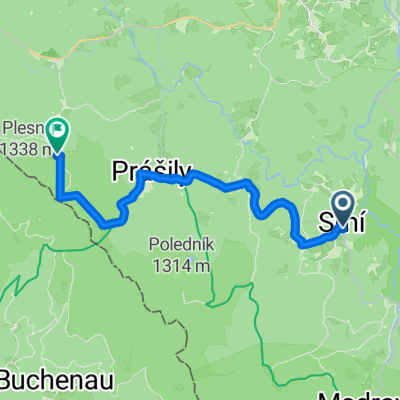
Nezdice na Šumavě (okolí_1)
- 13.4 km
- 379 m
- 377 m
- Kašperské Hory, Plzeň Region, Czechia
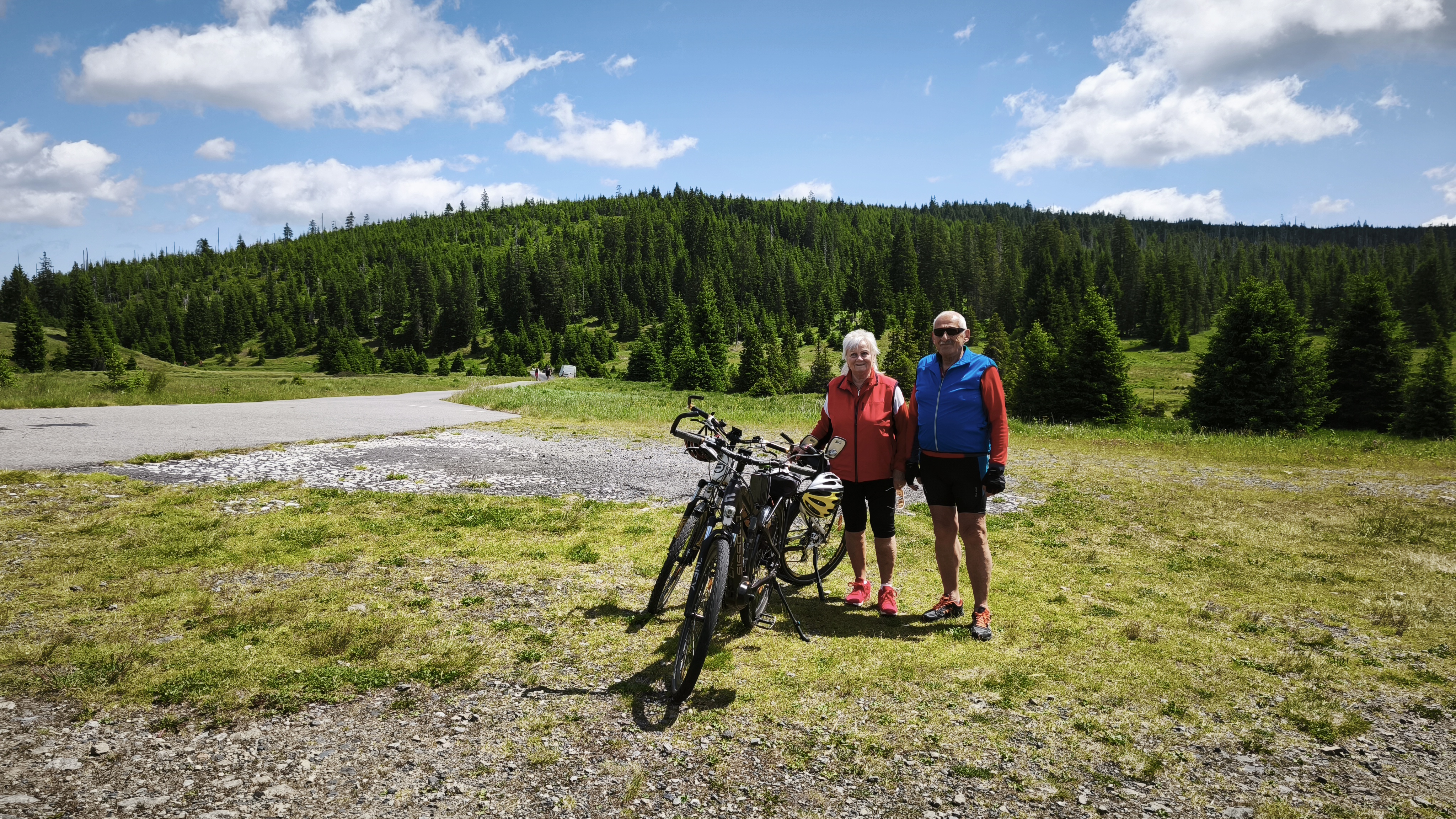
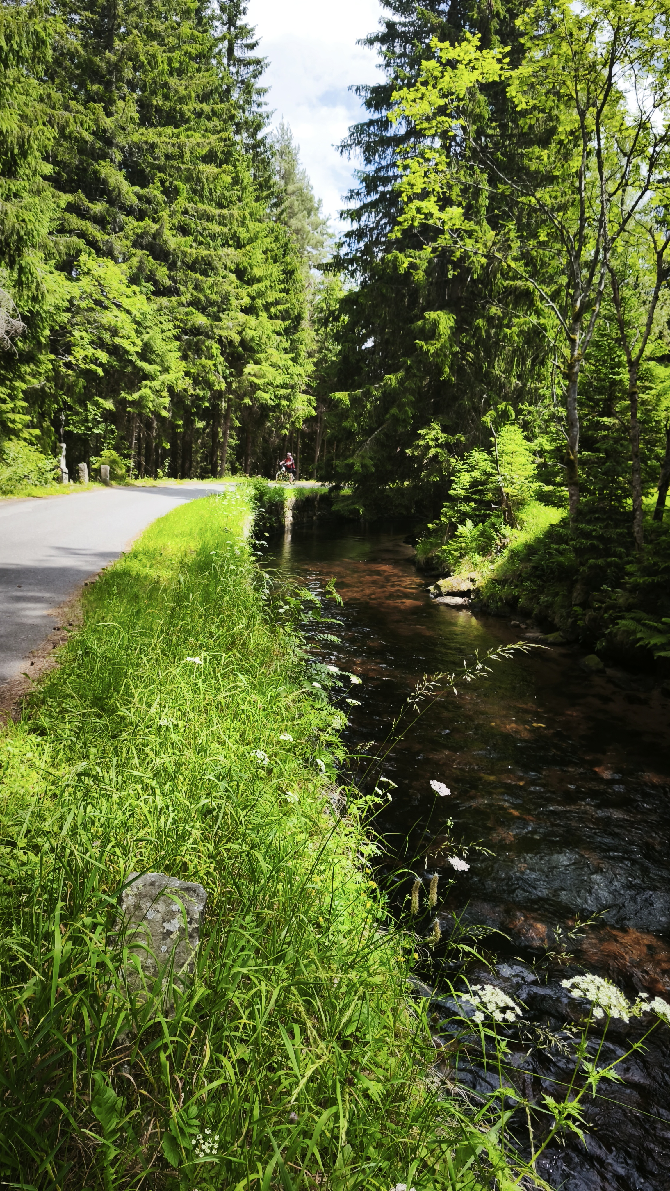
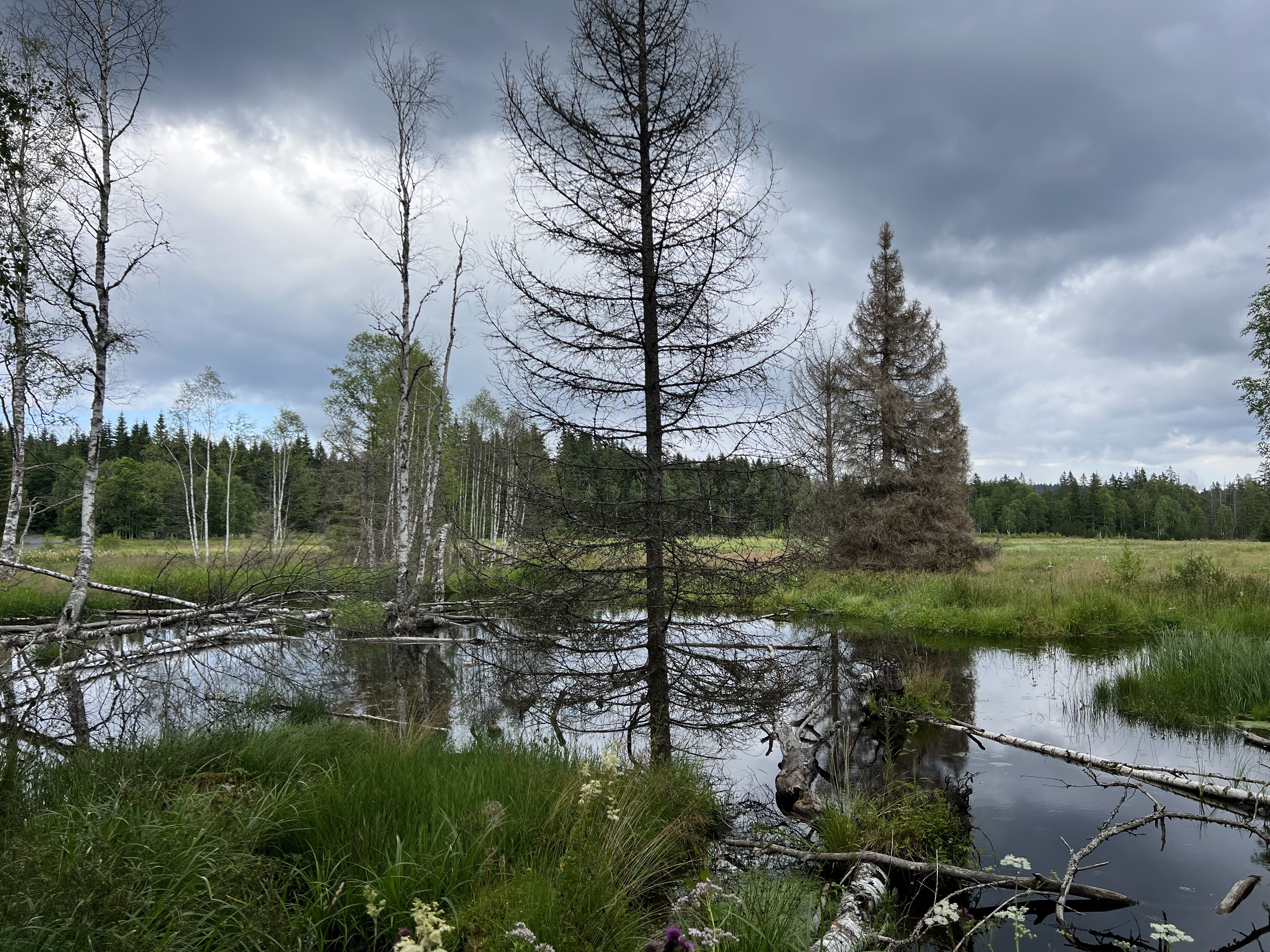
A cycling route starting in Kašperské Hory, Plzeň Region, Czechia.
Overview
created this 14 years ago
Route quality
Quiet road
3.9 km
(5 %)
Access road
2.3 km
(3 %)
Paved
60.1 km
(78 %)
Unpaved
0.8 km
(1 %)
Asphalt
59.3 km
(77 %)
Paved (undefined)
0.8 km
(1 %)
Continue with Bikemap
You would like to ride xxxa or customize it for your own trip? Here is what you can do with this Bikemap route:
Free trial for 3 days, or one-time payment. More about Bikemap Premium.
Discover more Premium features.
Get Bikemap PremiumFrom our community
Open it in the app