

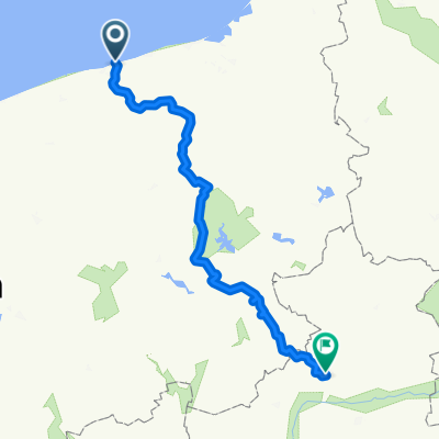
Kołobrzeg-Mrzeżyno-Kołobrzeg
A cycling route starting in Kołobrzeg, West Pomeranian Voivodeship, Poland.
Overview
About this route
- 2 h 44 min
- Duration
- 44.2 km
- Distance
- 3 m
- Ascent
- 0 m
- Descent
- 16.2 km/h
- Avg. speed
- ---
- Max. altitude

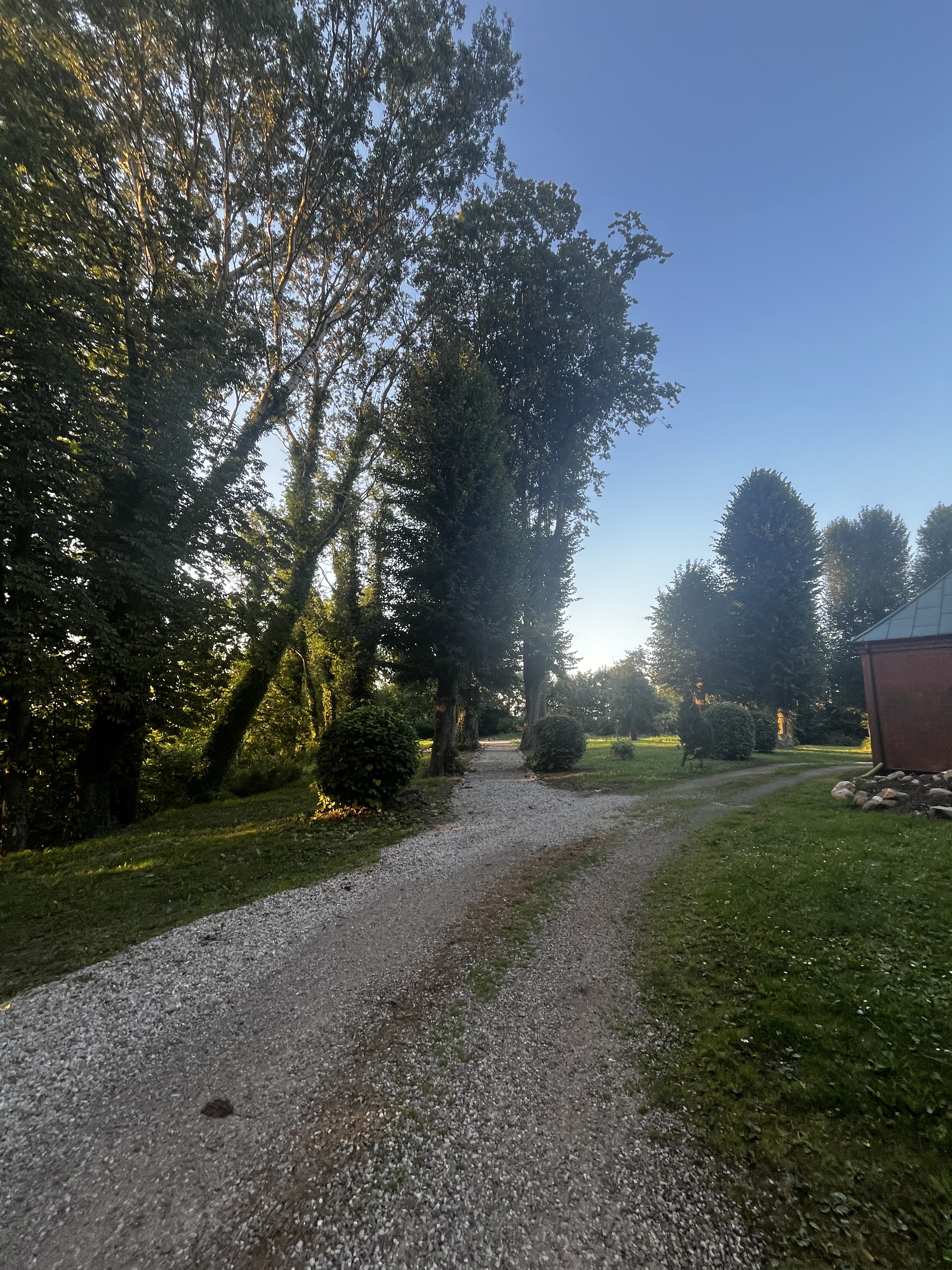
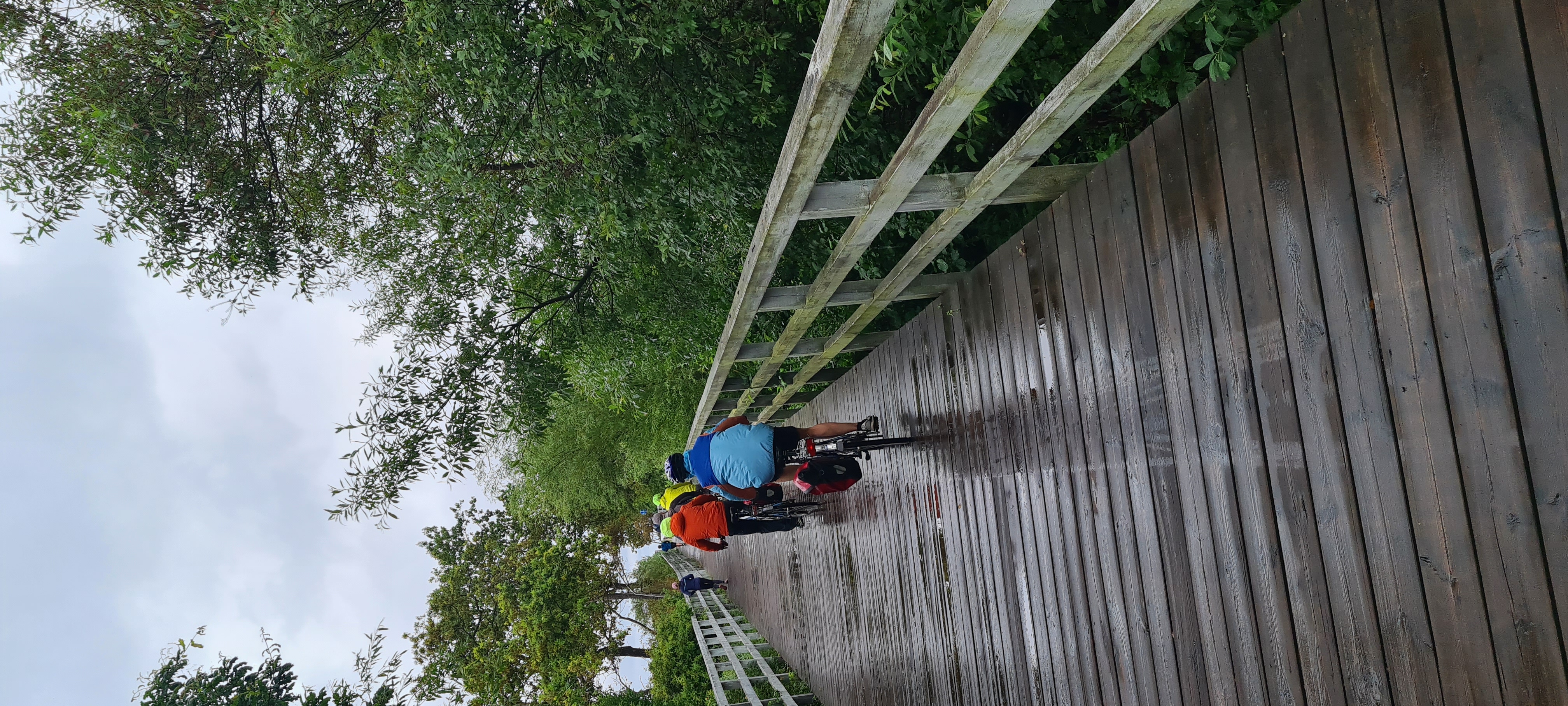
Route photos


Route quality
Waytypes & surfaces along the route
Waytypes
Cycleway
18.6 km
(42 %)
Path
13.7 km
(31 %)
Surfaces
Paved
31.4 km
(71 %)
Asphalt
30.1 km
(68 %)
Concrete
1.3 km
(3 %)
Undefined
12.8 km
(29 %)
Continue with Bikemap
Use, edit, or download this cycling route
You would like to ride Kołobrzeg-Mrzeżyno-Kołobrzeg or customize it for your own trip? Here is what you can do with this Bikemap route:
Free features
- Save this route as favorite or in collections
- Copy & plan your own version of this route
- Sync your route with Garmin or Wahoo
Premium features
Free trial for 3 days, or one-time payment. More about Bikemap Premium.
- Navigate this route on iOS & Android
- Export a GPX / KML file of this route
- Create your custom printout (try it for free)
- Download this route for offline navigation
Discover more Premium features.
Get Bikemap PremiumFrom our community
Other popular routes starting in Kołobrzeg
 Mazowiecka, Kołobrzeg do Mazowiecka, Kołobrzeg
- Distance
- 64.6 km
- Ascent
- 347 m
- Descent
- 349 m
- Location
- Kołobrzeg, West Pomeranian Voivodeship, Poland
 Ratuszowa, Kołobrzeg do Sosnowy Las, Mielno
- Distance
- 75.9 km
- Ascent
- 367 m
- Descent
- 370 m
- Location
- Kołobrzeg, West Pomeranian Voivodeship, Poland
 Jeziora Kamienica i Popiel
- Distance
- 61.6 km
- Ascent
- 183 m
- Descent
- 152 m
- Location
- Kołobrzeg, West Pomeranian Voivodeship, Poland
 Dworcowa nach Polna 2A
- Distance
- 49 km
- Ascent
- 76 m
- Descent
- 115 m
- Location
- Kołobrzeg, West Pomeranian Voivodeship, Poland
 aleja Kolejowa 3, Kołobrzeg do Droga bez nazwy, Darłowo
- Distance
- 94.8 km
- Ascent
- 300 m
- Descent
- 292 m
- Location
- Kołobrzeg, West Pomeranian Voivodeship, Poland
 Trasa Piła-Kołobrzeg mi
- Distance
- 208.7 km
- Ascent
- 972 m
- Descent
- 920 m
- Location
- Kołobrzeg, West Pomeranian Voivodeship, Poland
 Kołobrzeg-Mrzeżyno-Kołobrzeg
- Distance
- 44.2 km
- Ascent
- 3 m
- Descent
- 0 m
- Location
- Kołobrzeg, West Pomeranian Voivodeship, Poland
 Pomorze 2017
- Distance
- 285.9 km
- Ascent
- 206 m
- Descent
- 208 m
- Location
- Kołobrzeg, West Pomeranian Voivodeship, Poland
Open it in the app