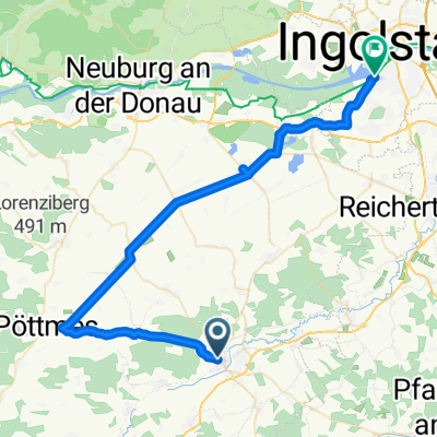
021 SOB-Ingstetten-Pöttmes-SOB
- 49.8 km
- 223 m
- 221 m
- Schrobenhausen, Bavaria, Germany
A cycling route starting in Schrobenhausen, Bavaria, Germany.
Overview
SOB - Rettenbach - Osterham - Habertshausen - Unterbernbach (12) - Rettenbach - Ingstetten - Handzell - Immendorf - Pöttmes (32, Ihle) - Klingsmoos - Sandizell - SOB
created this 14 years ago
Route quality
Quiet road
21.9 km
(44 %)
Path
13.4 km
(27 %)
Paved
44.3 km
(89 %)
Unpaved
2.5 km
(5 %)
Asphalt
42.8 km
(86 %)
Gravel
2.5 km
(5 %)
Continue with Bikemap
You would like to ride 021 SOB-Ingstetten-Pöttmes-SOB or customize it for your own trip? Here is what you can do with this Bikemap route:
Free trial for 3 days, or one-time payment. More about Bikemap Premium.
Discover more Premium features.
Get Bikemap PremiumFrom our community
Open it in the app