

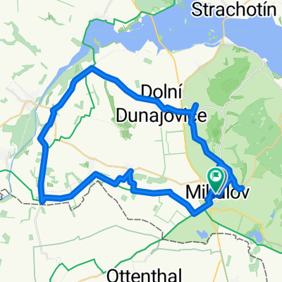
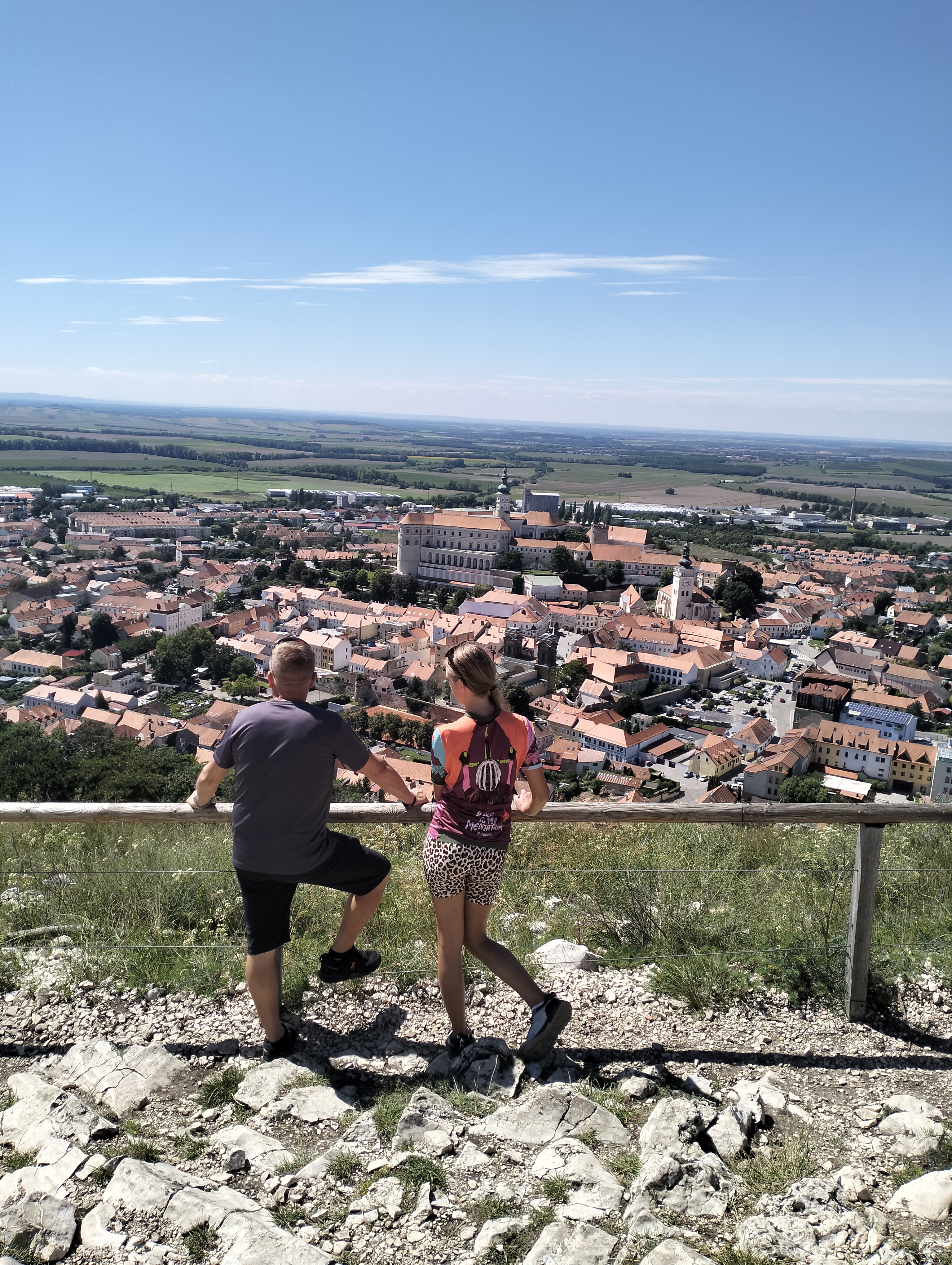
Náměstí 24/27, Mikulov do Náměstí 24/27, Mikulov
A cycling route starting in Mikulov, South Moravian, Czechia.
Overview
About this route
- 1 h 29 min
- Duration
- 25.3 km
- Distance
- 374 m
- Ascent
- 373 m
- Descent
- 17 km/h
- Avg. speed
- 362 m
- Max. altitude

Route quality
Waytypes & surfaces along the route
Waytypes
Road
12.9 km
(51 %)
Quiet road
5.3 km
(21 %)
Surfaces
Paved
16.9 km
(67 %)
Unpaved
2 km
(8 %)
Asphalt
16.9 km
(67 %)
Ground
1.5 km
(6 %)
Continue with Bikemap
Use, edit, or download this cycling route
You would like to ride Náměstí 24/27, Mikulov do Náměstí 24/27, Mikulov or customize it for your own trip? Here is what you can do with this Bikemap route:
Free features
- Save this route as favorite or in collections
- Copy & plan your own version of this route
- Sync your route with Garmin or Wahoo
Premium features
Free trial for 3 days, or one-time payment. More about Bikemap Premium.
- Navigate this route on iOS & Android
- Export a GPX / KML file of this route
- Create your custom printout (try it for free)
- Download this route for offline navigation
Discover more Premium features.
Get Bikemap PremiumFrom our community
Other popular routes starting in Mikulov
 Route zu Zámek Mikulov - Devin
- Distance
- 53.1 km
- Ascent
- 635 m
- Descent
- 631 m
- Location
- Mikulov, South Moravian, Czechia
 Gagarinova 1295/9 do Gagarinova
- Distance
- 59.2 km
- Ascent
- 219 m
- Descent
- 263 m
- Location
- Mikulov, South Moravian, Czechia
 Gagarinova 1295/9 do Gagarinova 1295/9
- Distance
- 46.6 km
- Ascent
- 183 m
- Descent
- 270 m
- Location
- Mikulov, South Moravian, Czechia
 Bezručova do Náměstí
- Distance
- 7.3 km
- Ascent
- 180 m
- Descent
- 250 m
- Location
- Mikulov, South Moravian, Czechia
 Alfonse Muchy do Alfonse Muchy
- Distance
- 81.8 km
- Ascent
- 976 m
- Descent
- 976 m
- Location
- Mikulov, South Moravian, Czechia
 Mik-Lednice
- Distance
- 46.3 km
- Ascent
- 236 m
- Descent
- 241 m
- Location
- Mikulov, South Moravian, Czechia
 Mikulov à Brno
- Distance
- 57.4 km
- Ascent
- 263 m
- Descent
- 282 m
- Location
- Mikulov, South Moravian, Czechia
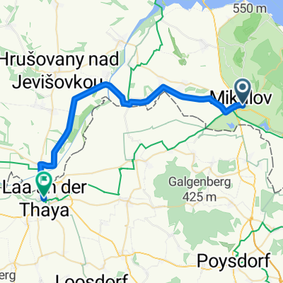 Von Nikolsburg bis Laa an der Thaya
- Distance
- 30.7 km
- Ascent
- 60 m
- Descent
- 101 m
- Location
- Mikulov, South Moravian, Czechia
Open it in the app