

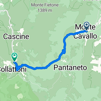
Salita da Monte Cavallo a Collattoni
- 4.7 km
- 454 m
- 40 m
- Pie' del Sasso, The Marches, Italy
A cycling route starting in Pie' del Sasso, The Marches, Italy.
Overview
The steepest climb in the area with gradients over 10%.
created this 17 years ago
Route quality
Road
4.6 km
(98 %)
Track
0.1 km
(2 %)
Paved
4.6 km
(98 %)
Asphalt
4.6 km
(98 %)
Undefined
0.1 km
(2 %)
Continue with Bikemap
You would like to ride Salita da Monte Cavallo a Collattoni or customize it for your own trip? Here is what you can do with this Bikemap route:
Free trial for 3 days, or one-time payment. More about Bikemap Premium.
Discover more Premium features.
Get Bikemap PremiumFrom our community
Open it in the app


