Generała Tadeusza Kutrzeby do aleja Armii Krajowej
- 1.6 km
- 57 m
- 54 m
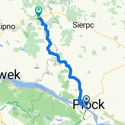
- Płock, Masovian Voivodeship, Poland
A cycling route starting in Płock, Masovian Voivodeship, Poland.
Overview
A pleasant road cycling route from the outskirts of Płock to Warsaw. Unfortunately, there are some stretches with poor asphalt, but thankfully they are not too long.
created this 14 years ago
Route quality
Road
52.9 km
(54 %)
Quiet road
7.8 km
(8 %)
Paved
84.2 km
(86 %)
Unpaved
2 km
(2 %)
Asphalt
84.2 km
(86 %)
Unpaved (undefined)
2 km
(2 %)
Undefined
11.8 km
(12 %)
Continue with Bikemap
You would like to ride Szosą z Płocka do Warszawy or customize it for your own trip? Here is what you can do with this Bikemap route:
Free trial for 3 days, or one-time payment. More about Bikemap Premium.
Discover more Premium features.
Get Bikemap PremiumFrom our community
Open it in the app