

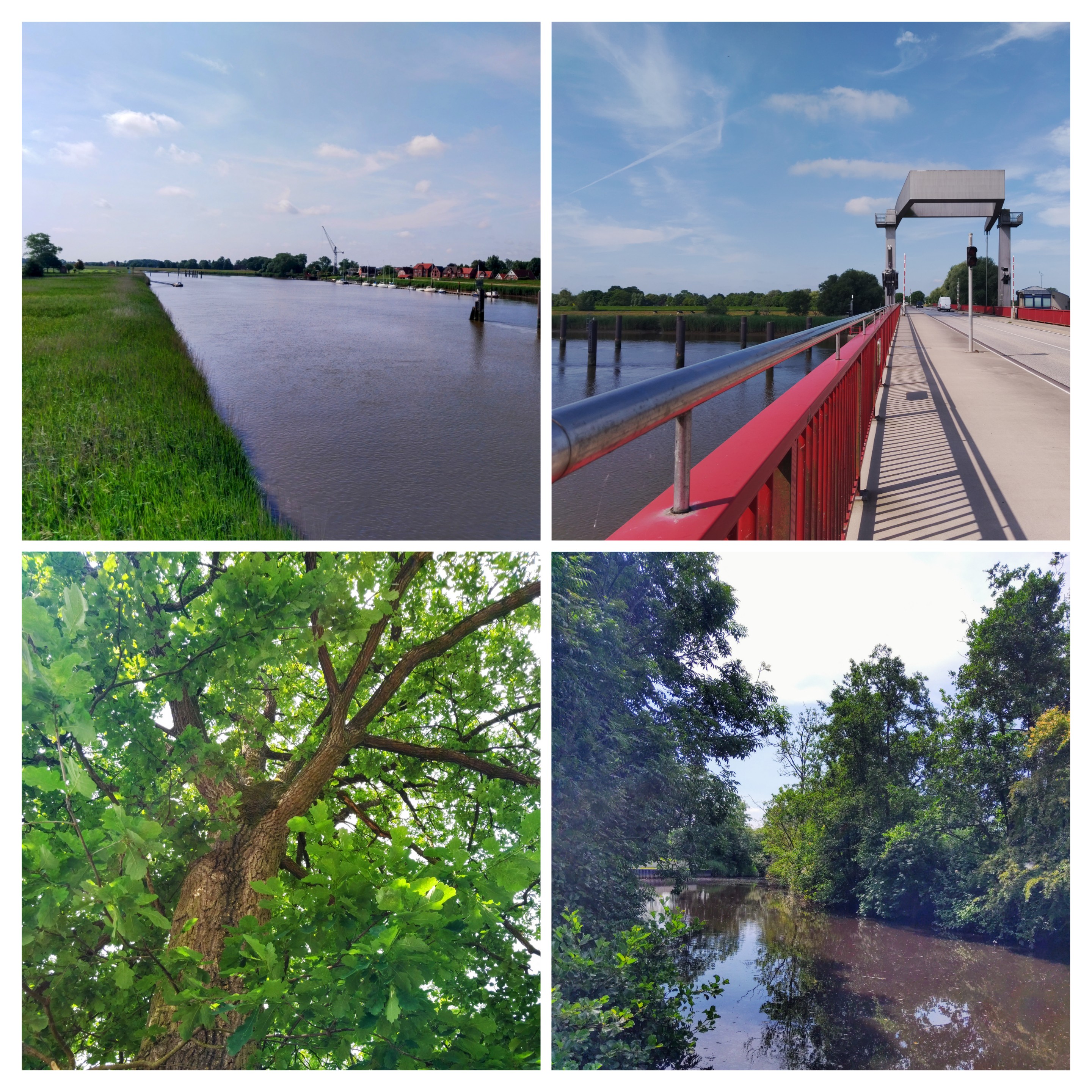
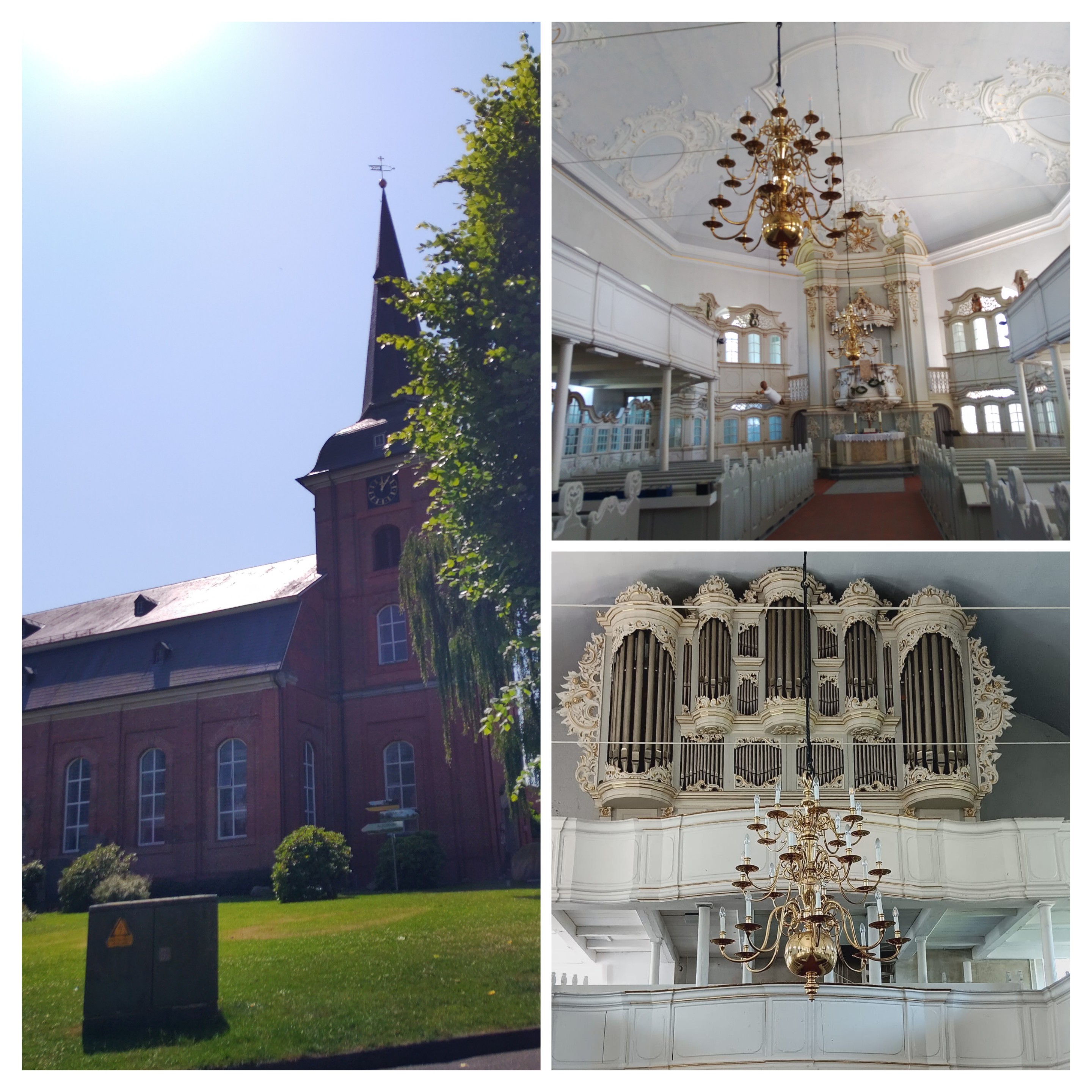
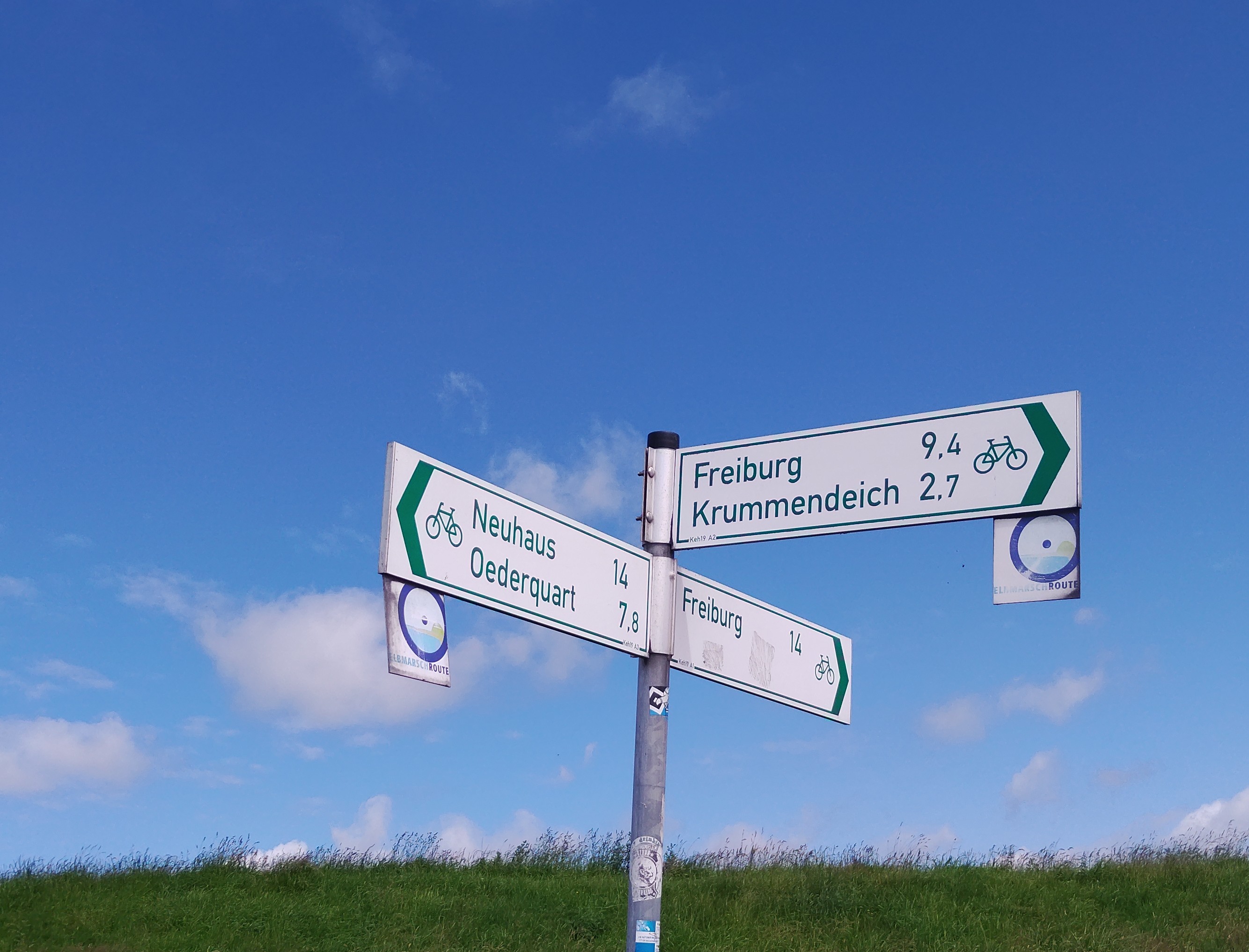
Otterndorf -Cadenberge
A cycling route starting in Geversdorf, Lower Saxony, Germany.
Overview
About this route
- 3 h 40 min
- Duration
- 42.8 km
- Distance
- 49 m
- Ascent
- 26 m
- Descent
- 11.7 km/h
- Avg. speed
- ---
- Max. altitude

Route quality
Waytypes & surfaces along the route
Waytypes
Quiet road
21.2 km
(50 %)
Path
7.2 km
(17 %)
Surfaces
Paved
23.5 km
(55 %)
Unpaved
3 km
(7 %)
Asphalt
19.1 km
(45 %)
Paved (undefined)
3 km
(7 %)
Continue with Bikemap
Use, edit, or download this cycling route
You would like to ride Otterndorf -Cadenberge or customize it for your own trip? Here is what you can do with this Bikemap route:
Free features
- Save this route as favorite or in collections
- Copy & plan your own version of this route
- Sync your route with Garmin or Wahoo
Premium features
Free trial for 3 days, or one-time payment. More about Bikemap Premium.
- Navigate this route on iOS & Android
- Export a GPX / KML file of this route
- Create your custom printout (try it for free)
- Download this route for offline navigation
Discover more Premium features.
Get Bikemap PremiumFrom our community
Other popular routes starting in Geversdorf
 Urlaub in Oberndorf; Nähe Cuxhaven
- Distance
- 63.2 km
- Ascent
- 12 m
- Descent
- 12 m
- Location
- Geversdorf, Lower Saxony, Germany
 Hörne, Pedingworth, Otterndorf, Belum
- Distance
- 50.1 km
- Ascent
- 208 m
- Descent
- 249 m
- Location
- Geversdorf, Lower Saxony, Germany
 Hörne, Hemmoor, Wingst, Cadenberge
- Distance
- 49.4 km
- Ascent
- 191 m
- Descent
- 239 m
- Location
- Geversdorf, Lower Saxony, Germany
 2019_Balje_Kutenholz
- Distance
- 71.9 km
- Ascent
- 81 m
- Descent
- 57 m
- Location
- Geversdorf, Lower Saxony, Germany
 Hörne- Freiburg
- Distance
- 43.1 km
- Ascent
- 41 m
- Descent
- 81 m
- Location
- Geversdorf, Lower Saxony, Germany
 Hörne, Neuhaus, Freiburg
- Distance
- 47.6 km
- Ascent
- 101 m
- Descent
- 142 m
- Location
- Geversdorf, Lower Saxony, Germany
 Elberadweg final 11
- Distance
- 40.4 km
- Ascent
- 9 m
- Descent
- 9 m
- Location
- Geversdorf, Lower Saxony, Germany
 Route von Dorfstraße 32, Geversdorf
- Distance
- 17.1 km
- Ascent
- 40 m
- Descent
- 71 m
- Location
- Geversdorf, Lower Saxony, Germany
Open it in the app