

2021-10-09 MT9RET Mountain Lakes Park
A cycling route starting in Peach Lake, New York, United States.
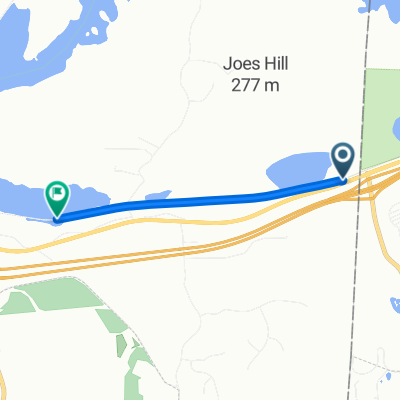
Overview
About this route
- -:--
- Duration
- 93.6 km
- Distance
- 776 m
- Ascent
- 951 m
- Descent
- ---
- Avg. speed
- 182 m
- Max. altitude
Route quality
Waytypes & surfaces along the route
Waytypes
Cycleway
57.1 km
(61 %)
Quiet road
3.7 km
(4 %)
Surfaces
Paved
75.8 km
(81 %)
Unpaved
0.9 km
(1 %)
Asphalt
73.9 km
(79 %)
Paved (undefined)
0.9 km
(1 %)
Continue with Bikemap
Use, edit, or download this cycling route
You would like to ride 2021-10-09 MT9RET Mountain Lakes Park or customize it for your own trip? Here is what you can do with this Bikemap route:
Free features
- Save this route as favorite or in collections
- Copy & plan your own version of this route
- Split it into stages to create a multi-day tour
- Sync your route with Garmin or Wahoo
Premium features
Free trial for 3 days, or one-time payment. More about Bikemap Premium.
- Navigate this route on iOS & Android
- Export a GPX / KML file of this route
- Create your custom printout (try it for free)
- Download this route for offline navigation
Discover more Premium features.
Get Bikemap PremiumFrom our community
Other popular routes starting in Peach Lake
 3489 Danbury Rd, Brewster to 8–18 Beaver Brook Rd, Ridgefield
- Distance
- 9 km
- Ascent
- 126 m
- Descent
- 90 m
- Location
- Peach Lake, New York, United States
 ride through Lewisboro
- Distance
- 15.9 km
- Ascent
- 266 m
- Descent
- 264 m
- Location
- Peach Lake, New York, United States
 2021-10-09 MT9RET Mountain Lakes Park
- Distance
- 93.6 km
- Ascent
- 776 m
- Descent
- 951 m
- Location
- Peach Lake, New York, United States
 300 Center Meadow Ln, Danbury to 32 Old Pasture Dr, Danbury
- Distance
- 17.6 km
- Ascent
- 336 m
- Descent
- 338 m
- Location
- Peach Lake, New York, United States
 waccabuc to library loop
- Distance
- 15.5 km
- Ascent
- 236 m
- Descent
- 237 m
- Location
- Peach Lake, New York, United States
 Purdys -Goldens Bridge loop
- Distance
- 21.4 km
- Ascent
- 231 m
- Descent
- 224 m
- Location
- Peach Lake, New York, United States
 16 Makepeace Hill, Waccabuc to 601–611 Sagg Main St, Sagaponack
- Distance
- 159.3 km
- Ascent
- 1,275 m
- Descent
- 1,473 m
- Location
- Peach Lake, New York, United States
 Mill Plain Road to Branch Road
- Distance
- 2.9 km
- Ascent
- 7 m
- Descent
- 22 m
- Location
- Peach Lake, New York, United States
Open it in the app