

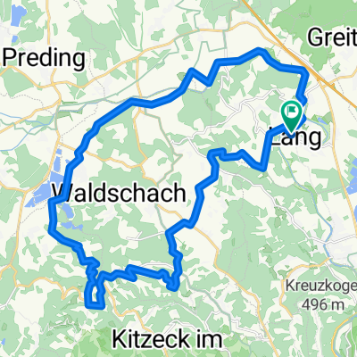
Jöß - Gabersdorf - Wagna - Seggauberg - Silberberg - Altenberg - Flamberg - Dexenberg - Jöß
A cycling route starting in Lang, Styria, Austria.
Overview
About this route
- 2 h 44 min
- Duration
- 48.1 km
- Distance
- 478 m
- Ascent
- 525 m
- Descent
- 17.6 km/h
- Avg. speed
- ---
- Max. altitude

Route photos

Route quality
Waytypes & surfaces along the route
Waytypes
Quiet road
26.9 km
(56 %)
Road
6.7 km
(14 %)
Surfaces
Paved
25.5 km
(53 %)
Unpaved
3.4 km
(7 %)
Asphalt
24.5 km
(51 %)
Unpaved (undefined)
1.4 km
(3 %)
Continue with Bikemap
Use, edit, or download this cycling route
You would like to ride Jöß - Gabersdorf - Wagna - Seggauberg - Silberberg - Altenberg - Flamberg - Dexenberg - Jöß or customize it for your own trip? Here is what you can do with this Bikemap route:
Free features
- Save this route as favorite or in collections
- Copy & plan your own version of this route
- Sync your route with Garmin or Wahoo
Premium features
Free trial for 3 days, or one-time payment. More about Bikemap Premium.
- Navigate this route on iOS & Android
- Export a GPX / KML file of this route
- Create your custom printout (try it for free)
- Download this route for offline navigation
Discover more Premium features.
Get Bikemap PremiumFrom our community
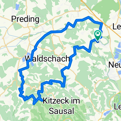
Other popular routes starting in Lang
 Radtour 6.9.2025
- Distance
- 31.5 km
- Ascent
- 738 m
- Descent
- 739 m
- Location
- Lang, Styria, Austria
 Radtour 6.9.2025 eBike
- Distance
- 37.7 km
- Ascent
- 945 m
- Descent
- 947 m
- Location
- Lang, Styria, Austria
 Lebring - Gabersdorf - Wolfsberg - Wildon
- Distance
- 44.4 km
- Ascent
- 230 m
- Descent
- 229 m
- Location
- Lang, Styria, Austria
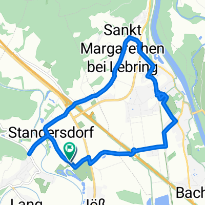 Stangersdorf-Lebring-St.Margarethen-retour
- Distance
- 8.9 km
- Ascent
- 43 m
- Descent
- 46 m
- Location
- Lang, Styria, Austria
 Jöß - Kranachberg - Aflenz - Jöss
- Distance
- 47.2 km
- Ascent
- 707 m
- Descent
- 706 m
- Location
- Lang, Styria, Austria
 Sonntagstour 29.10.2023
- Distance
- 54.2 km
- Ascent
- 1,643 m
- Descent
- 1,642 m
- Location
- Lang, Styria, Austria
 Auf den Spuren von Nestl Opa
- Distance
- 947.9 km
- Ascent
- 6,519 m
- Descent
- 5,432 m
- Location
- Lang, Styria, Austria
 Frannach-Mitterlabill-Schwarzautal-Laubegg
- Distance
- 48.6 km
- Ascent
- 548 m
- Descent
- 547 m
- Location
- Lang, Styria, Austria
Open it in the app