

EMTBC Niculitel 2021 Tura Lunga
A cycling route starting in Niculiţel, Tulcea County, Romania.
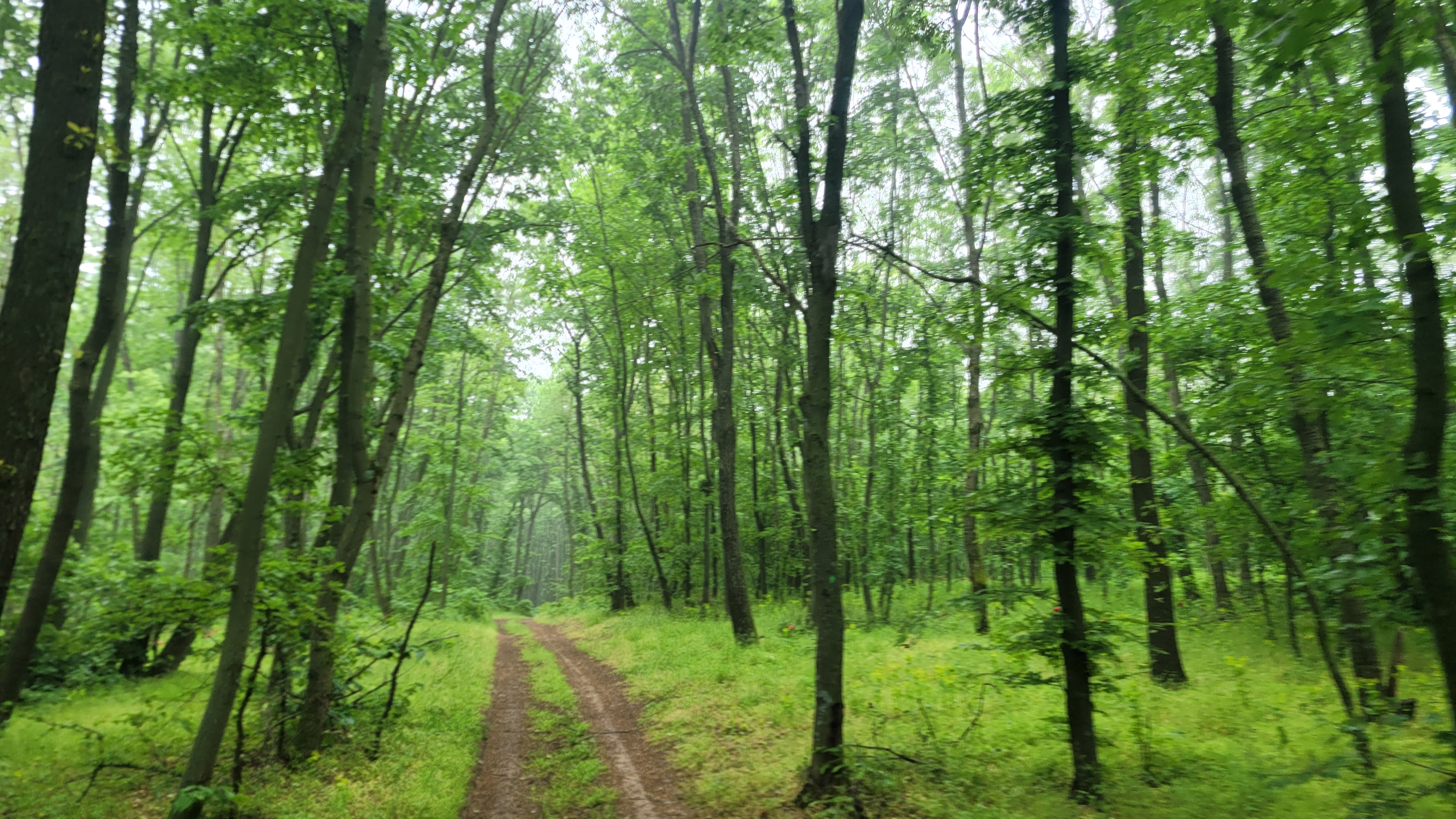
Overview
About this route
- -:--
- Duration
- 59.2 km
- Distance
- 1,098 m
- Ascent
- 1,097 m
- Descent
- ---
- Avg. speed
- 361 m
- Max. altitude

Continue with Bikemap
Use, edit, or download this cycling route
You would like to ride EMTBC Niculitel 2021 Tura Lunga or customize it for your own trip? Here is what you can do with this Bikemap route:
Free features
- Save this route as favorite or in collections
- Copy & plan your own version of this route
- Sync your route with Garmin or Wahoo
Premium features
Free trial for 3 days, or one-time payment. More about Bikemap Premium.
- Navigate this route on iOS & Android
- Export a GPX / KML file of this route
- Create your custom printout (try it for free)
- Download this route for offline navigation
Discover more Premium features.
Get Bikemap PremiumFrom our community
Other popular routes starting in Niculiţel
 Telița-Teke-Celic-Telița
- Distance
- 29.9 km
- Ascent
- 584 m
- Descent
- 590 m
- Location
- Niculiţel, Tulcea County, Romania
 Telița -Nifon
- Distance
- 23 km
- Ascent
- 356 m
- Descent
- 384 m
- Location
- Niculiţel, Tulcea County, Romania
 DJ229C, Hamcearca to DN22D, Cerna
- Distance
- 41.9 km
- Ascent
- 538 m
- Descent
- 670 m
- Location
- Niculiţel, Tulcea County, Romania
 Niculitel 3
- Distance
- 27 km
- Ascent
- 364 m
- Descent
- 516 m
- Location
- Niculiţel, Tulcea County, Romania
 Sarica din Valea Viilor
- Distance
- 9.6 km
- Ascent
- 389 m
- Descent
- 389 m
- Location
- Niculiţel, Tulcea County, Romania
 Niculitel Heart
- Distance
- 56.4 km
- Ascent
- 1,105 m
- Descent
- 1,084 m
- Location
- Niculiţel, Tulcea County, Romania
 Somova z1
- Distance
- 43.7 km
- Ascent
- 564 m
- Descent
- 551 m
- Location
- Niculiţel, Tulcea County, Romania
 DJ229C, Niculitel to Calea Brăilei, Cerna
- Distance
- 45.9 km
- Ascent
- 551 m
- Descent
- 534 m
- Location
- Niculiţel, Tulcea County, Romania
Open it in the app