circuit eguille st-cannat-rognes-cadenet
- 65.1 km
- 458 m
- 459 m
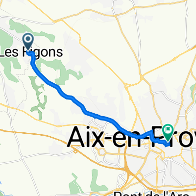
- Éguilles, Provence-Alpes-Côte d'Azur Region, France
A cycling route starting in Éguilles, Provence-Alpes-Côte d'Azur Region, France.
Overview
created this 14 years ago
Route quality
Access road
0.4 km
(3 %)
Track
0.1 km
(1 %)
Undefined
11.8 km
(96 %)
Paved
5 km
(41 %)
Unpaved
0.1 km
(1 %)
Asphalt
5 km
(41 %)
Unpaved (undefined)
0.1 km
(1 %)
Undefined
7.1 km
(58 %)
Continue with Bikemap
You would like to ride ludo-rognes or customize it for your own trip? Here is what you can do with this Bikemap route:
Free trial for 3 days, or one-time payment. More about Bikemap Premium.
Discover more Premium features.
Get Bikemap PremiumFrom our community
Open it in the app