

Donaueschingen-Passau
A cycling route starting in Donaueschingen, Baden-Württemberg, Germany.
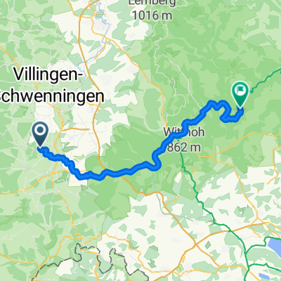
Overview
About this route
- július 30.-augusztus 3.
Passauig autóval, majd Münchenen átszállással vonattal jutottam el a Dunaforrás közelébe.
Az út első harmada vadregényes, a növendék Duna lakatlan vidékeken kígyózik át. A második harmad is sok erdőt tartalmaz. Az utolsó rész pedig sokszor távol a Dunától gabonaföldek közepén halad. Hőségben az unalom mellett a megrekedő hőtömegek miatt elég fárasztó.
Összesen: 626 km.
Útfelület hibátlan, széles aszfalt, erdőkben simára döngölt apró murva. A táblák néhol aprók, nehezen észrevehetők.
- -:--
- Duration
- 526.7 km
- Distance
- 436 m
- Ascent
- 761 m
- Descent
- ---
- Avg. speed
- ---
- Max. altitude
Continue with Bikemap
Use, edit, or download this cycling route
You would like to ride Donaueschingen-Passau or customize it for your own trip? Here is what you can do with this Bikemap route:
Free features
- Save this route as favorite or in collections
- Copy & plan your own version of this route
- Split it into stages to create a multi-day tour
- Sync your route with Garmin or Wahoo
Premium features
Free trial for 3 days, or one-time payment. More about Bikemap Premium.
- Navigate this route on iOS & Android
- Export a GPX / KML file of this route
- Create your custom printout (try it for free)
- Download this route for offline navigation
Discover more Premium features.
Get Bikemap PremiumFrom our community
Other popular routes starting in Donaueschingen
 An der Donau entlang
- Distance
- 165.5 km
- Ascent
- 403 m
- Descent
- 591 m
- Location
- Donaueschingen, Baden-Württemberg, Germany
 Donautal
- Distance
- 52.4 km
- Ascent
- 316 m
- Descent
- 321 m
- Location
- Donaueschingen, Baden-Württemberg, Germany
 Die Donaueschingen-Siofók-Hypothese
- Distance
- 1,220.5 km
- Ascent
- 115 m
- Descent
- 680 m
- Location
- Donaueschingen, Baden-Württemberg, Germany
 Donautour 1.Etappe
- Distance
- 99.3 km
- Ascent
- 311 m
- Descent
- 407 m
- Location
- Donaueschingen, Baden-Württemberg, Germany
 From Donaueschingen to Fridingen an der Donau
- Distance
- 61.9 km
- Ascent
- 439 m
- Descent
- 504 m
- Location
- Donaueschingen, Baden-Württemberg, Germany
 Le Danube - 1ere partie
- Distance
- 932.4 km
- Ascent
- 318 m
- Descent
- 768 m
- Location
- Donaueschingen, Baden-Württemberg, Germany
 Donauradweg
- Distance
- 984.1 km
- Ascent
- 267 m
- Descent
- 552 m
- Location
- Donaueschingen, Baden-Württemberg, Germany
 Der Donauradweg
- Distance
- 622.8 km
- Ascent
- 3,031 m
- Descent
- 3,406 m
- Location
- Donaueschingen, Baden-Württemberg, Germany
Open it in the app