Východním Středohořím
A cycling route starting in Úštěk, Ústecký kraj, Czechia.
Overview
About this route
Across the Verneřice Plateau and through the Central Bohemian Highlands around Varhošť to Terezín.
- -:--
- Duration
- 56.9 km
- Distance
- 906 m
- Ascent
- 1,048 m
- Descent
- ---
- Avg. speed
- ---
- Max. altitude
Route quality
Waytypes & surfaces along the route
Waytypes
Road
37 km
(65 %)
Track
9.7 km
(17 %)
Surfaces
Paved
10.2 km
(18 %)
Unpaved
6.8 km
(12 %)
Asphalt
10.2 km
(18 %)
Ground
5.7 km
(10 %)
Continue with Bikemap
Use, edit, or download this cycling route
You would like to ride Východním Středohořím or customize it for your own trip? Here is what you can do with this Bikemap route:
Free features
- Save this route as favorite or in collections
- Copy & plan your own version of this route
- Sync your route with Garmin or Wahoo
Premium features
Free trial for 3 days, or one-time payment. More about Bikemap Premium.
- Navigate this route on iOS & Android
- Export a GPX / KML file of this route
- Create your custom printout (try it for free)
- Download this route for offline navigation
Discover more Premium features.
Get Bikemap PremiumFrom our community
Other popular routes starting in Úštěk
- Ráj - Husí cesta - Ráj
- Distance
- 33 km
- Ascent
- 352 m
- Descent
- 366 m
- Location
- Úštěk, Ústecký kraj, Czechia
- Prvomájová projížďka 2013
- Distance
- 58 km
- Ascent
- 308 m
- Descent
- 503 m
- Location
- Úštěk, Ústecký kraj, Czechia
- Litoměřice - Bukovká hora - Litoměřice
- Distance
- 94.4 km
- Ascent
- 1,029 m
- Descent
- 1,102 m
- Location
- Úštěk, Ústecký kraj, Czechia
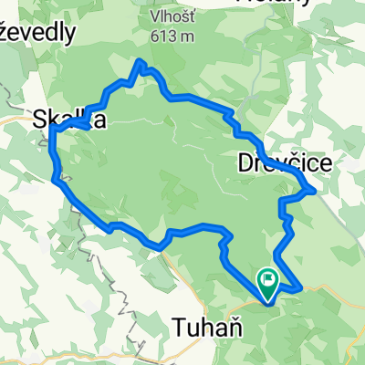
- Úštěk, Zahrádky, Holany, Dubá, Tupadly, Chudolazy, Chcebuz, Radouň, Střížovice, Julčín, Vědlice, Úštěk
- Distance
- 80.1 km
- Ascent
- 887 m
- Descent
- 896 m
- Location
- Úštěk, Ústecký kraj, Czechia
- Okruh Pavlíčky-Čap-Hvězda
- Distance
- 26.6 km
- Ascent
- 381 m
- Descent
- 379 m
- Location
- Úštěk, Ústecký kraj, Czechia
- kolem rybníků
- Distance
- 26.5 km
- Ascent
- 194 m
- Descent
- 194 m
- Location
- Úštěk, Ústecký kraj, Czechia
- 2015-03-19 SKALKA-VLHOŠŤ-LOUBÍ-LHOTA-PAVLIČKY-HUSA-SKALKA 33,3 KM
- Distance
- 33.3 km
- Ascent
- 405 m
- Descent
- 405 m
- Location
- Úštěk, Ústecký kraj, Czechia
- Orient Lhota
- Distance
- 5 km
- Ascent
- 288 m
- Descent
- 128 m
- Location
- Úštěk, Ústecký kraj, Czechia
Open it in the app