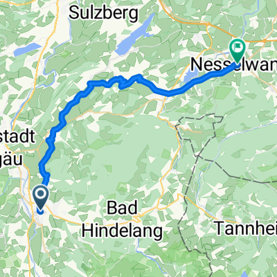
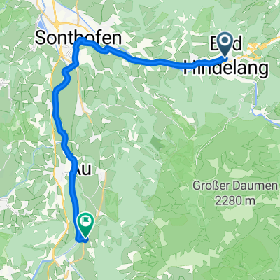
Sonthofen - Oberstorf retour
- 36.5 km
- 282 m
- 284 m
- Sonthofen, Bavaria, Germany
A cycling route starting in Sonthofen, Bavaria, Germany.
Overview
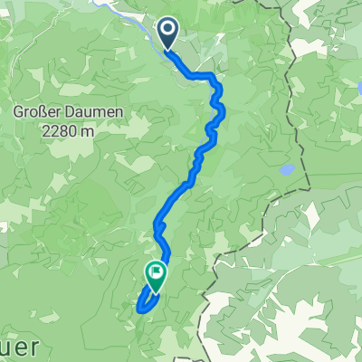
Parking Tiefenbach
Vorderhindelang
Hindelang
passing by the valley station of the Imberghorn Bahn
over the wooden bridge towards Cafe Horn
steep ascent
passing by Cafe Horn
to Alp Mitterhaus
created this 14 years ago
Route quality
Quiet road
9.6 km
(47 %)
Track
4.5 km
(22 %)
Paved
17.4 km
(85 %)
Unpaved
2.5 km
(12 %)
Asphalt
17.4 km
(85 %)
Gravel
2.3 km
(11 %)
Continue with Bikemap
You would like to ride Vom Ostrachtal zur Alp Mitterhaus (1081 m) or customize it for your own trip? Here is what you can do with this Bikemap route:
Free trial for 3 days, or one-time payment. More about Bikemap Premium.
Discover more Premium features.
Get Bikemap PremiumFrom our community
Open it in the app