

Rund um Rauschberg und Unternberg
A cycling route starting in Ruhpolding, Bavaria, Germany.
Overview
About this route
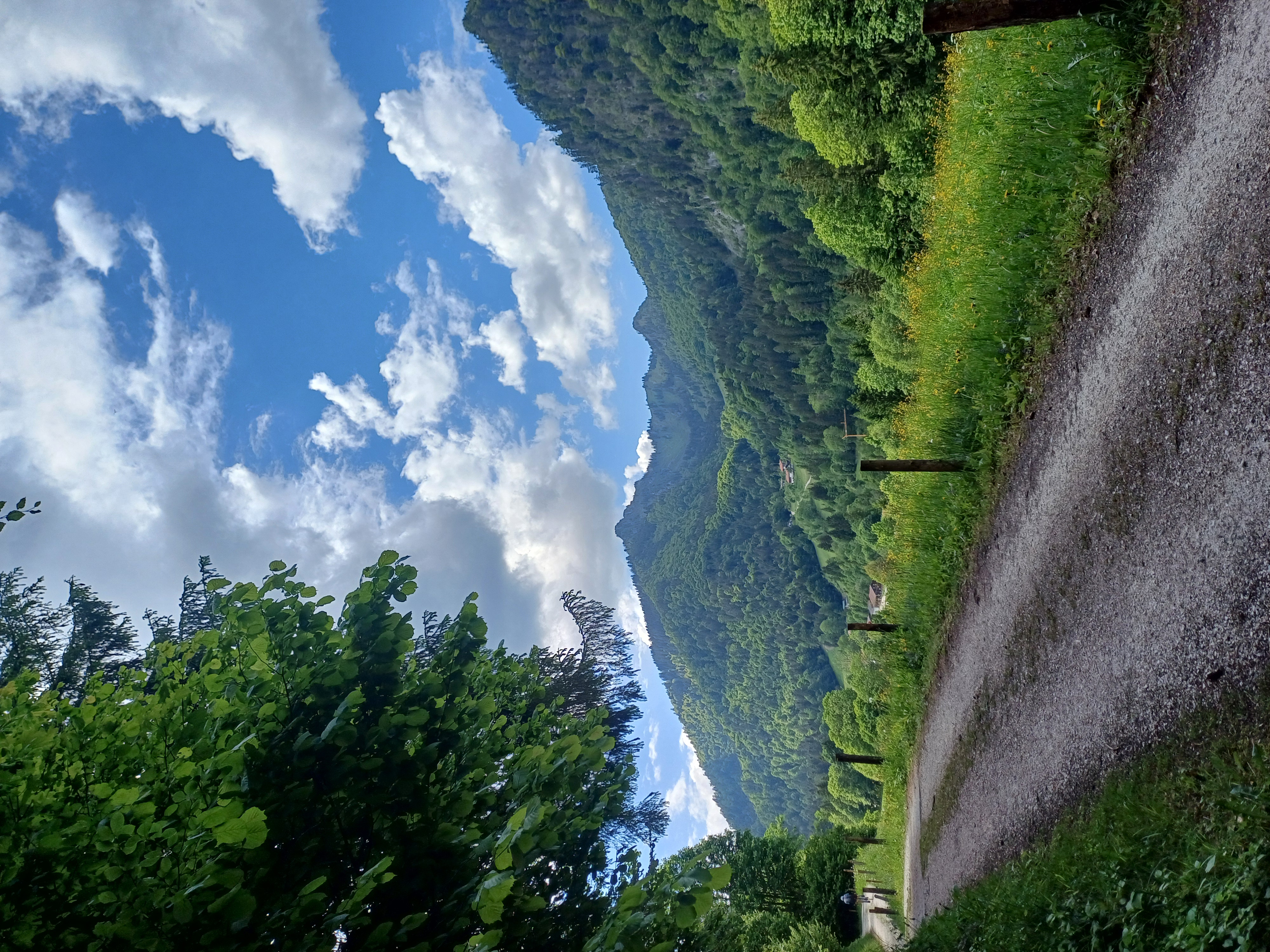
Über die Röthelmoos-Alm verlängerte Variante der Moser-Tour um den Rauschberg.
Startpunkt ist das Holzknecht-Museum südlich von Ruhpoldung. Von dort geht es bergauf zur Kaitl-Alm, weiter zur Reiter Alm und von dort hinab nach Weisbach. Diesem folgt man über interessant zu fahrende Pfade bis zum Café Zwing, von wo es wieder bergauf zum Gastholf Schmelz geht. Nördlich am Rauschberg vorbei passiert man schließlich den Golfplatz von Ruhpoldung und fährt oberhalb vom Ort weiter nach Brand zur Röthelmoos-Alm. Am Wapbach entlang gehts bergab zum Weitsee und von dort über das Biathlonzentrum wieder zum Startpunkt.
Entfernung: 56 km
Höhenmeter: 1100 m
- -:--
- Duration
- 54.8 km
- Distance
- 0 m
- Ascent
- 0 m
- Descent
- ---
- Avg. speed
- ---
- Avg. speed

Continue with Bikemap
Use, edit, or download this cycling route
You would like to ride Rund um Rauschberg und Unternberg or customize it for your own trip? Here is what you can do with this Bikemap route:
Free features
- Save this route as favorite or in collections
- Copy & plan your own version of this route
- Sync your route with Garmin or Wahoo
Premium features
Free trial for 3 days, or one-time payment. More about Bikemap Premium.
- Navigate this route on iOS & Android
- Export a GPX / KML file of this route
- Create your custom printout (try it for free)
- Download this route for offline navigation
Discover more Premium features.
Get Bikemap PremiumFrom our community
Other popular routes starting in Ruhpolding
 Jochbergalm
- Distance
- 19.7 km
- Ascent
- 660 m
- Descent
- 656 m
- Location
- Ruhpolding, Bavaria, Germany
 Röthelmoosalm
- Distance
- 54.2 km
- Ascent
- 1,396 m
- Descent
- 1,398 m
- Location
- Ruhpolding, Bavaria, Germany
 Rund um den Hochfelln
- Distance
- 27 km
- Ascent
- 851 m
- Descent
- 854 m
- Location
- Ruhpolding, Bavaria, Germany
 Rund ums Sonntagshorn
- Distance
- 44.5 km
- Ascent
- 1,040 m
- Descent
- 1,032 m
- Location
- Ruhpolding, Bavaria, Germany
 Hochfellnrunde
- Distance
- 56.9 km
- Ascent
- 1,224 m
- Descent
- 1,228 m
- Location
- Ruhpolding, Bavaria, Germany
 Pedale - Bergen
- Distance
- 32.3 km
- Ascent
- 280 m
- Descent
- 286 m
- Location
- Ruhpolding, Bavaria, Germany
 Ruhpolding-Dandl Alm-Jochberg Alm-Ruhpolding CLONED FROM ROUTE 1704365
- Distance
- 37.9 km
- Ascent
- 684 m
- Descent
- 686 m
- Location
- Ruhpolding, Bavaria, Germany
 HIPP-Trophy
- Distance
- 1.3 km
- Ascent
- 30 m
- Descent
- 30 m
- Location
- Ruhpolding, Bavaria, Germany
Open it in the app