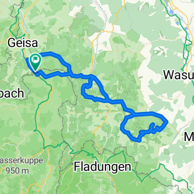
Motzlar - Großentaft - Vacha - Oechsen - Motzlar
- 65.2 km
- 627 m
- 630 m
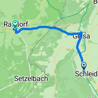
- Schleid, Thuringia, Germany
A cycling route starting in Schleid, Thuringia, Germany.
Overview
Good asphalted section to Gerstengrund, then little good asphalt over Kuhberg. Consistent to steep climb at Kuhberg. Then fast descent possible to Tann. Afterwards, another climb below Habelberg. Continue with continuous descent to the start/finish.
created this 14 years ago
Route quality
Road
17 km
(50 %)
Quiet road
6.8 km
(20 %)
Paved
14.3 km
(42 %)
Asphalt
10.9 km
(32 %)
Paved (undefined)
3.4 km
(10 %)
Undefined
19.7 km
(58 %)
Continue with Bikemap
You would like to ride Motzlar - Kuhberg - Habelberg - Motzlar or customize it for your own trip? Here is what you can do with this Bikemap route:
Free trial for 3 days, or one-time payment. More about Bikemap Premium.
Discover more Premium features.
Get Bikemap PremiumFrom our community
Open it in the app