Wyprawa Czerwiec 2019
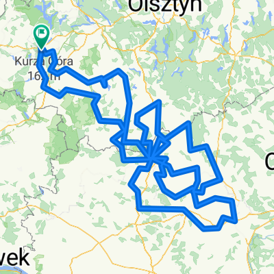
- 263.4 km
- 425 m
- 410 m
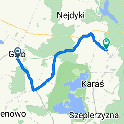
- Iława, Warmian-Masurian Voivodeship, Poland
A cycling route starting in Iława, Warmian-Masurian Voivodeship, Poland.
Overview
Iława – gathering from 10 to 11, map meeting around 10:45 in the square in front of the District Office in Iława, ul. Andersa 2a, going through ul. Sobieskiego, by the Little Jeziorak, ul. Kościuszki, Eastern Bypass, ul. Lubawska, onto road no. 536.
Rodzone – Lubawa (St. Anne's Church from 1330, a fragment of the city's defensive walls from the 14th century, St. John the Baptist Church, wooden St. Barbara's Church) – Lipy (known for Marian worship, site of one of the Prussian Sacred Groves) – Napromek (rehabilitation center for wild animals, access to the Landscape Park of the Dylewskie Hills) – Wygoda – Marwałd – Samin – Dąbrówno (gothic evangelical-methodist church, neogothic catholic church from the 19th century, fragment of the city walls from the 14th century) – Leszcz – Jankowice – Gardyny – Kownatki.
created this 14 years ago
Continue with Bikemap
You would like to ride Iława 2011 - dzień 1 or customize it for your own trip? Here is what you can do with this Bikemap route:
Free trial for 3 days, or one-time payment. More about Bikemap Premium.
Discover more Premium features.
Get Bikemap PremiumFrom our community
Open it in the app