

R1 Drauradweg - Landesgrenze - Villach
A cycling route starting in Nikolsdorf, Tyrol, Austria.
Overview
About this route
Gefahren am: 8. August 2021, sowie mehrmals einzelnen Abschnitte von Villach bis Oberdrauburg in Jahren von 2016 bis 2021.
Verkehrsfrei: 61 km; Geringes Verkehrsaufkommen: 05 km; Moderates Verkehrsaufkommen: 34 km, Gefährlich für Kinder nicht geeignet: 000 km
Untergrund: Asphalt ca: 40% ; Schotter ca: 60%
Beschreibung: Ab der Landesgrenze ein Abwechslungsreiches fahren auf Kommunalen Wegenetz, und den Landesstraßen L1, L3, L4, sowie Radwegen bis Lendorf bei Spittal. Vor und nach Spittal ist der R1 sehr schlecht angelegt! Ab Molzbichl sehr gutes Radfahren bis Villach. Der Radweg führt entlang der Drau, vorwiegend auf gut zu fahrenden Schotter.
Bewertung: Der neu angelegte Radweg durch Spittal ist nicht gelungen! Schade, es gibt sicher bessere Möglichkeiten. Bewertung 3,5 Sterne, Schulnote 2.
Beschilderung: Gut, -
GPS Daten stimmen mit der Beschilderung überein: Ja
- -:--
- Duration
- 100.4 km
- Distance
- 180 m
- Ascent
- 326 m
- Descent
- ---
- Avg. speed
- 641 m
- Max. altitude

Route quality
Waytypes & surfaces along the route
Waytypes
Cycleway
33.9 km
(34 %)
Quiet road
22.2 km
(22 %)
Surfaces
Paved
57.4 km
(57 %)
Unpaved
26 km
(26 %)
Asphalt
52.8 km
(53 %)
Loose gravel
12.2 km
(12 %)
Continue with Bikemap
Use, edit, or download this cycling route
You would like to ride R1 Drauradweg - Landesgrenze - Villach or customize it for your own trip? Here is what you can do with this Bikemap route:
Free features
- Save this route as favorite or in collections
- Copy & plan your own version of this route
- Split it into stages to create a multi-day tour
- Sync your route with Garmin or Wahoo
Premium features
Free trial for 3 days, or one-time payment. More about Bikemap Premium.
- Navigate this route on iOS & Android
- Export a GPX / KML file of this route
- Create your custom printout (try it for free)
- Download this route for offline navigation
Discover more Premium features.
Get Bikemap PremiumFrom our community
Other popular routes starting in Nikolsdorf
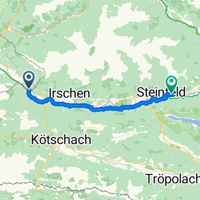 Nikolsdorf - Steinfeld
- Distance
- 32.5 km
- Ascent
- 448 m
- Descent
- 513 m
- Location
- Nikolsdorf, Tyrol, Austria
 Drauradweg Kärnten
- Distance
- 221.3 km
- Ascent
- 389 m
- Descent
- 646 m
- Location
- Nikolsdorf, Tyrol, Austria
 3 - TDF 23
- Distance
- 204.5 km
- Ascent
- 3,685 m
- Descent
- 3,543 m
- Location
- Nikolsdorf, Tyrol, Austria
 11 Unterpirkach - Kammering
- Distance
- 72.7 km
- Ascent
- 88 m
- Descent
- 210 m
- Location
- Nikolsdorf, Tyrol, Austria
 110821 lienzer dolomiten
- Distance
- 48.8 km
- Ascent
- 1,735 m
- Descent
- 1,735 m
- Location
- Nikolsdorf, Tyrol, Austria
 Ciclabile Drava (2010) 2
- Distance
- 62.9 km
- Ascent
- 123 m
- Descent
- 234 m
- Location
- Nikolsdorf, Tyrol, Austria
 Oberdrauburg Hochstadl
- Distance
- 24.9 km
- Ascent
- 1,166 m
- Descent
- 1,166 m
- Location
- Nikolsdorf, Tyrol, Austria
 Nikolsdorf 54, Nikolsdorf nach Nikolsdorf 54, Nikolsdorf
- Distance
- 11.3 km
- Ascent
- 814 m
- Descent
- 812 m
- Location
- Nikolsdorf, Tyrol, Austria
Open it in the app