
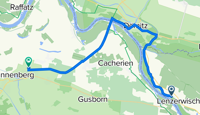
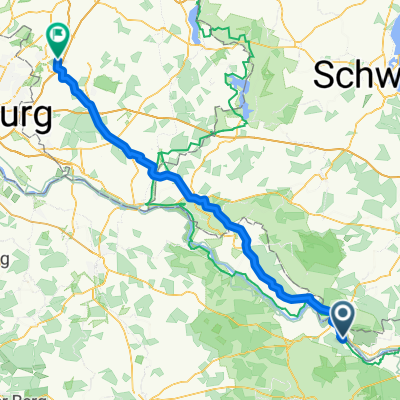
Am Elbdeich 2, Lenzerwische nach Dannenberg(Elbe) Ost, Dannenberg (Elbe)
A cycling route starting in Langendorf, Lower Saxony, Germany.
Overview
About this route
- 1 h 19 min
- Duration
- 22.2 km
- Distance
- 133 m
- Ascent
- 133 m
- Descent
- 16.9 km/h
- Avg. speed
- ---
- Avg. speed

Route quality
Waytypes & surfaces along the route
Waytypes
Path
10.4 km
(47 %)
Track
6.4 km
(29 %)
Surfaces
Paved
15.8 km
(71 %)
Unpaved
4.5 km
(20 %)
Asphalt
13.9 km
(63 %)
Loose gravel
4.5 km
(20 %)
Continue with Bikemap
Use, edit, or download this cycling route
You would like to ride Am Elbdeich 2, Lenzerwische nach Dannenberg(Elbe) Ost, Dannenberg (Elbe) or customize it for your own trip? Here is what you can do with this Bikemap route:
Free features
- Save this route as favorite or in collections
- Copy & plan your own version of this route
- Sync your route with Garmin or Wahoo
Premium features
Free trial for 3 days, or one-time payment. More about Bikemap Premium.
- Navigate this route on iOS & Android
- Export a GPX / KML file of this route
- Create your custom printout (try it for free)
- Download this route for offline navigation
Discover more Premium features.
Get Bikemap PremiumFrom our community
Other popular routes starting in Langendorf
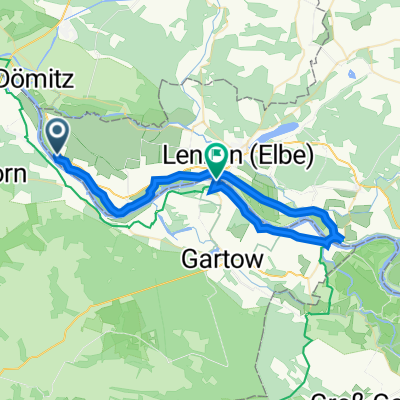 Dömitz - Schnackenburg
- Distance
- 37.1 km
- Ascent
- 76 m
- Descent
- 76 m
- Location
- Langendorf, Lower Saxony, Germany
 Lenzerwiesche Zollernspieker
- Distance
- 110.1 km
- Ascent
- 112 m
- Descent
- 126 m
- Location
- Langendorf, Lower Saxony, Germany
 Am Elbdeich, Lenzerwische nach Marschtorstraße 2–6, Hitzacker
- Distance
- 30 km
- Ascent
- 41 m
- Descent
- 42 m
- Location
- Langendorf, Lower Saxony, Germany
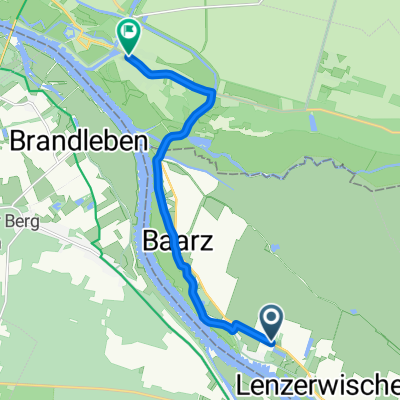 Am Elbdeich, Lenzerwische nach Roggenfelder Straße 2–4, Dömitz
- Distance
- 8.8 km
- Ascent
- 9 m
- Descent
- 9 m
- Location
- Langendorf, Lower Saxony, Germany
 Am Elbdeich 2, Lenzerwische nach Dannenberg(Elbe) Ost, Dannenberg (Elbe)
- Distance
- 22.2 km
- Ascent
- 133 m
- Descent
- 133 m
- Location
- Langendorf, Lower Saxony, Germany
 Tag 3
Tag 3- Distance
- 75.9 km
- Ascent
- 224 m
- Descent
- 201 m
- Location
- Langendorf, Lower Saxony, Germany
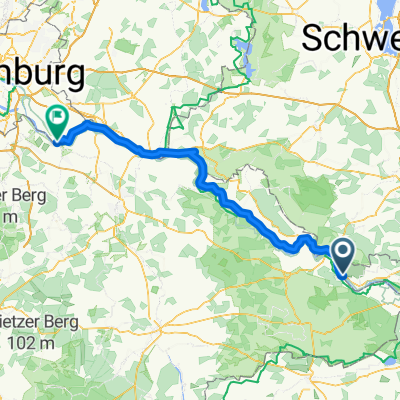
 Elbuferstraße 64, Langendorf nach WasserWanderZentrum Dömitz
- Distance
- 12.8 km
- Ascent
- 66 m
- Descent
- 66 m
- Location
- Langendorf, Lower Saxony, Germany
 My route back
- Distance
- 108.9 km
- Ascent
- 447 m
- Descent
- 421 m
- Location
- Langendorf, Lower Saxony, Germany
Open it in the app