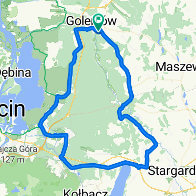
Pętla Duża
- 82.4 km
- 153 m
- 153 m
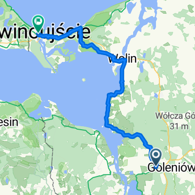
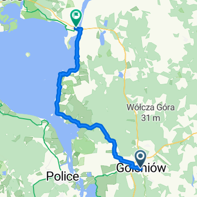
- Goleniów, West Pomeranian Voivodeship, Poland
A cycling route starting in Goleniów, West Pomeranian Voivodeship, Poland.
Overview
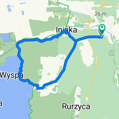
Forest trails, first around a heavily overgrown forest pond (actually a pit from which sand was taken), then a portage across the tracks and sandy forest paths. One can try to ride up to Pilot Mountain (also known as Bell Mountain). Return at the old riverbed of the Ina. A route for the bike that doesn't fear sand. From Goleniów, the loop is about 10 km when starting from the municipal stadium.
created this 4 years ago


Route quality
Track
7.6 km
(61 %)
Path
2 km
(16 %)
Paved
2.7 km
(22 %)
Unpaved
5.6 km
(45 %)
Gravel
3.8 km
(31 %)
Asphalt
2.7 km
(22 %)
Continue with Bikemap
You would like to ride Na Górę Lotnika or customize it for your own trip? Here is what you can do with this Bikemap route:
Free trial for 3 days, or one-time payment. More about Bikemap Premium.
Discover more Premium features.
Get Bikemap PremiumFrom our community
Open it in the app