Rund um das Hochgründeck
- 58.6 km
- 478 m
- 478 m
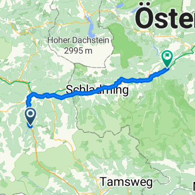
- Flachau, Salzburg, Austria
A cycling route starting in Flachau, Salzburg, Austria.
Overview
Characteristics:
Mountain bike tour with breathtaking views of the Salzburg mountain landscape
Starting and ending point:
Flachau Tourist Information
Route description:
Start the tour at Flachau Tourist Information - pass the village café, cross the bridge and then turn left towards the mini golf course - follow the signposted bike path - past the Flachau sports field - at the next intersection go straight until the municipal road - turn right towards Reitdorf - follow the municipal road to the Flachau municipal office - at the intersection shortly after the municipal office turn left and then immediately right towards Reiteck bathing lake - at Reiteck bathing lake go straight and then follow the road to the right - at the next intersection at Aignstadl turn left onto Aigenbergweg - steady ascent on asphalt road - at km 7.3 end of asphalt road - follow the gravel path to the left - after about 100 meters pass a barrier - at km 9.8 keep right towards Eben - at km 10.5 keep left - at the fork at km 11.4 go straight (do not turn right to Eben) - continuously stay on the same gravel road - at km 20.4 turn left towards Hochgründeck - at km 25.3 turn left towards Hochgründeck - at km 26.5 at the intersection turn left down the street - descend to the main road at the valley floor - continue left towards Wagrain - at the intersection in the town centre of Wagrain (near the church) turn left towards Flachau - return from Wagrain to Flachau via the largely parallel bike path along the main road.
created this 14 years ago
Route quality
Track
24.3 km
(50 %)
Quiet road
8.8 km
(18 %)
Paved
20.9 km
(43 %)
Unpaved
22.9 km
(47 %)
Gravel
22.4 km
(46 %)
Asphalt
20.9 km
(43 %)
Route highlights
Fun & Pro Bikeacademy: geführte Biketouren, Bikeverleih und -service
Herrliches Panorama auf oberes Ennstal und Niedere Tauern
Continue with Bikemap
You would like to ride Aigenberg - Hochgründeck - Wagrain or customize it for your own trip? Here is what you can do with this Bikemap route:
Free trial for 3 days, or one-time payment. More about Bikemap Premium.
Discover more Premium features.
Get Bikemap PremiumFrom our community
Open it in the app