

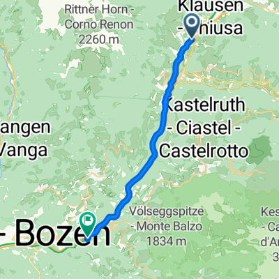
Hofstatt 27–33, Villanders nach Sauders 26, Villanders
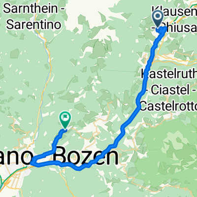
A cycling route starting in Villanders, Trentino-Alto Adige, Italy.
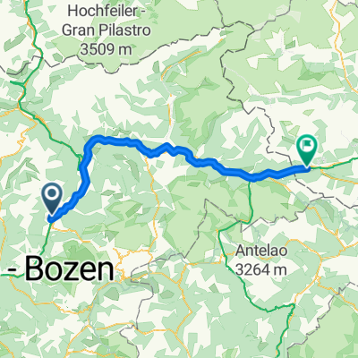
Overview
About this route
- 11 min
- Duration
- 2.6 km
- Distance
- 39 m
- Ascent
- 192 m
- Descent
- 14.9 km/h
- Avg. speed
- 933 m
- Max. altitude

Route quality
Waytypes & surfaces along the route
Waytypes
Road
2.4 km
(90 %)
Quiet road
0.2 km
(9 %)
Path
0 km
(1 %)
Surfaces
Paved
2.4 km
(90 %)
Asphalt
2.4 km
(90 %)
Undefined
0.3 km
(10 %)
Continue with Bikemap
Use, edit, or download this cycling route
You would like to ride Hofstatt 27–33, Villanders nach Sauders 26, Villanders or customize it for your own trip? Here is what you can do with this Bikemap route:
Free features
- Save this route as favorite or in collections
- Copy & plan your own version of this route
- Sync your route with Garmin or Wahoo
Premium features
Free trial for 3 days, or one-time payment. More about Bikemap Premium.
- Navigate this route on iOS & Android
- Export a GPX / KML file of this route
- Create your custom printout (try it for free)
- Download this route for offline navigation
Discover more Premium features.
Get Bikemap PremiumFrom our community
Other popular routes starting in Villanders
 Brennerstraße 10–12, Villanders nach Blumauer Straße 83, Völs am Schlern
- Distance
- 2,653.2 km
- Ascent
- 210 m
- Descent
- 405 m
- Location
- Villanders, Trentino-Alto Adige, Italy
 Franz-von-Defregger-Gasse, Villanders nach Dorf, Ritten
- Distance
- 37.5 km
- Ascent
- 1,580 m
- Descent
- 1,233 m
- Location
- Villanders, Trentino-Alto Adige, Italy
 Da San Stefano 12A, Villandro a San Stefano 12A, Villandro
- Distance
- 77.7 km
- Ascent
- 5,775 m
- Descent
- 5,774 m
- Location
- Villanders, Trentino-Alto Adige, Italy
 Sankt Stefan Straße 12, Villanders nach Barbianer Straße 28, Barbian
- Distance
- 5.5 km
- Ascent
- 350 m
- Descent
- 381 m
- Location
- Villanders, Trentino-Alto Adige, Italy
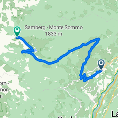
 Villanders-Villanderer Alm-Villanders
- Distance
- 24.3 km
- Ascent
- 1,019 m
- Descent
- 1,018 m
- Location
- Villanders, Trentino-Alto Adige, Italy
 Via dell'Abetone e del Brennero 16, Villandro a Via Borgata 6, San Lorenzo di Sebato
- Distance
- 60.3 km
- Ascent
- 1,282 m
- Descent
- 947 m
- Location
- Villanders, Trentino-Alto Adige, Italy
 Maie in Plun
- Distance
- 11.7 km
- Ascent
- 998 m
- Descent
- 0 m
- Location
- Villanders, Trentino-Alto Adige, Italy
 Von Villanders bis Sillian
- Distance
- 99.5 km
- Ascent
- 1,992 m
- Descent
- 1,777 m
- Location
- Villanders, Trentino-Alto Adige, Italy
Open it in the app