

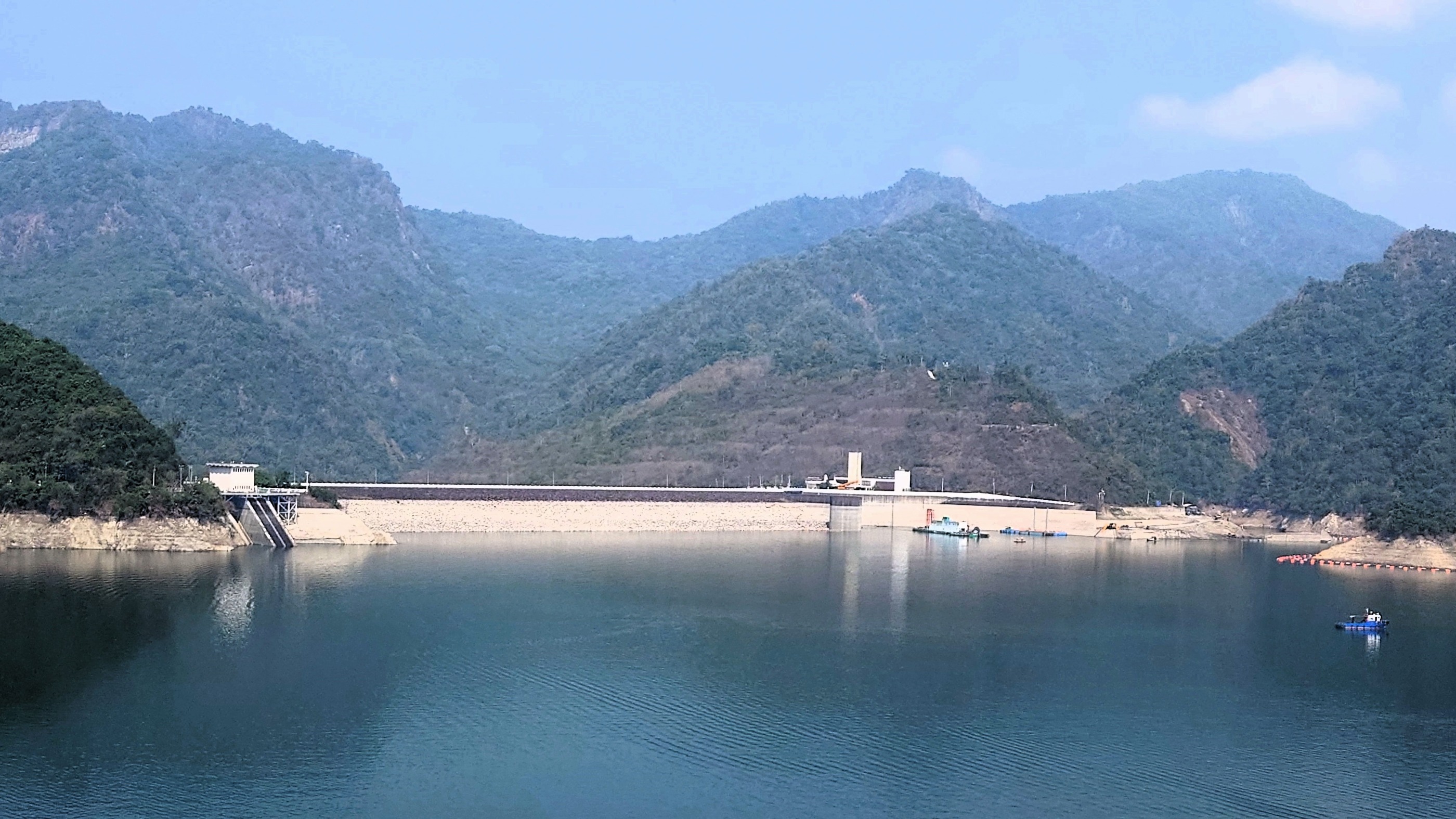
20080927 雲林/湖口自行車道
A cycling route starting in Taibao, Taiwan, Taiwan.
Overview
About this route
DAHON
後ろパンク
- -:--
- Duration
- 90.4 km
- Distance
- 16 m
- Ascent
- 16 m
- Descent
- ---
- Avg. speed
- ---
- Max. altitude

Route highlights
Points of interest along the route
Point of interest after 11 km
バイク店でパンク修理 救われる
Point of interest after 16.4 km
7-11 パンクに気づく
Point of interest after 44 km
昼食
Point of interest after 49.5 km
休憩 7-11
Continue with Bikemap
Use, edit, or download this cycling route
You would like to ride 20080927 雲林/湖口自行車道 or customize it for your own trip? Here is what you can do with this Bikemap route:
Free features
- Save this route as favorite or in collections
- Copy & plan your own version of this route
- Split it into stages to create a multi-day tour
- Sync your route with Garmin or Wahoo
Premium features
Free trial for 3 days, or one-time payment. More about Bikemap Premium.
- Navigate this route on iOS & Android
- Export a GPX / KML file of this route
- Create your custom printout (try it for free)
- Download this route for offline navigation
Discover more Premium features.
Get Bikemap PremiumFrom our community
Other popular routes starting in Taibao
 20080927 雲林/湖口自行車道
- Distance
- 90.4 km
- Ascent
- 16 m
- Descent
- 16 m
- Location
- Taibao, Taiwan, Taiwan
 20171027_東石港-花園夜市
- Distance
- 60.1 km
- Ascent
- 88 m
- Descent
- 78 m
- Location
- Taibao, Taiwan, Taiwan
 DAY 2
DAY 2- Distance
- 89.1 km
- Ascent
- 24 m
- Descent
- 38 m
- Location
- Taibao, Taiwan, Taiwan
 2024-03-16 08:56:10嘉義曾文水庫單車行(順走蘭潭仁義潭白河水庫)
- Distance
- 270.2 km
- Ascent
- 9,010 m
- Descent
- 9,010 m
- Location
- Taibao, Taiwan, Taiwan
 2010.03.13 2010捷安特媽祖萬人崇BIKE
- Distance
- 122.1 km
- Ascent
- 277 m
- Descent
- 263 m
- Location
- Taibao, Taiwan, Taiwan
 嘉義高鐵站 - 阿里山
- Distance
- 87.1 km
- Ascent
- 2,428 m
- Descent
- 241 m
- Location
- Taibao, Taiwan, Taiwan
 台南後壁-阿里山
- Distance
- 88.7 km
- Ascent
- 2,367 m
- Descent
- 213 m
- Location
- Taibao, Taiwan, Taiwan
 青春作伴好還鄉5_北港台南_A
- Distance
- 89.9 km
- Ascent
- 37 m
- Descent
- 40 m
- Location
- Taibao, Taiwan, Taiwan
Open it in the app