

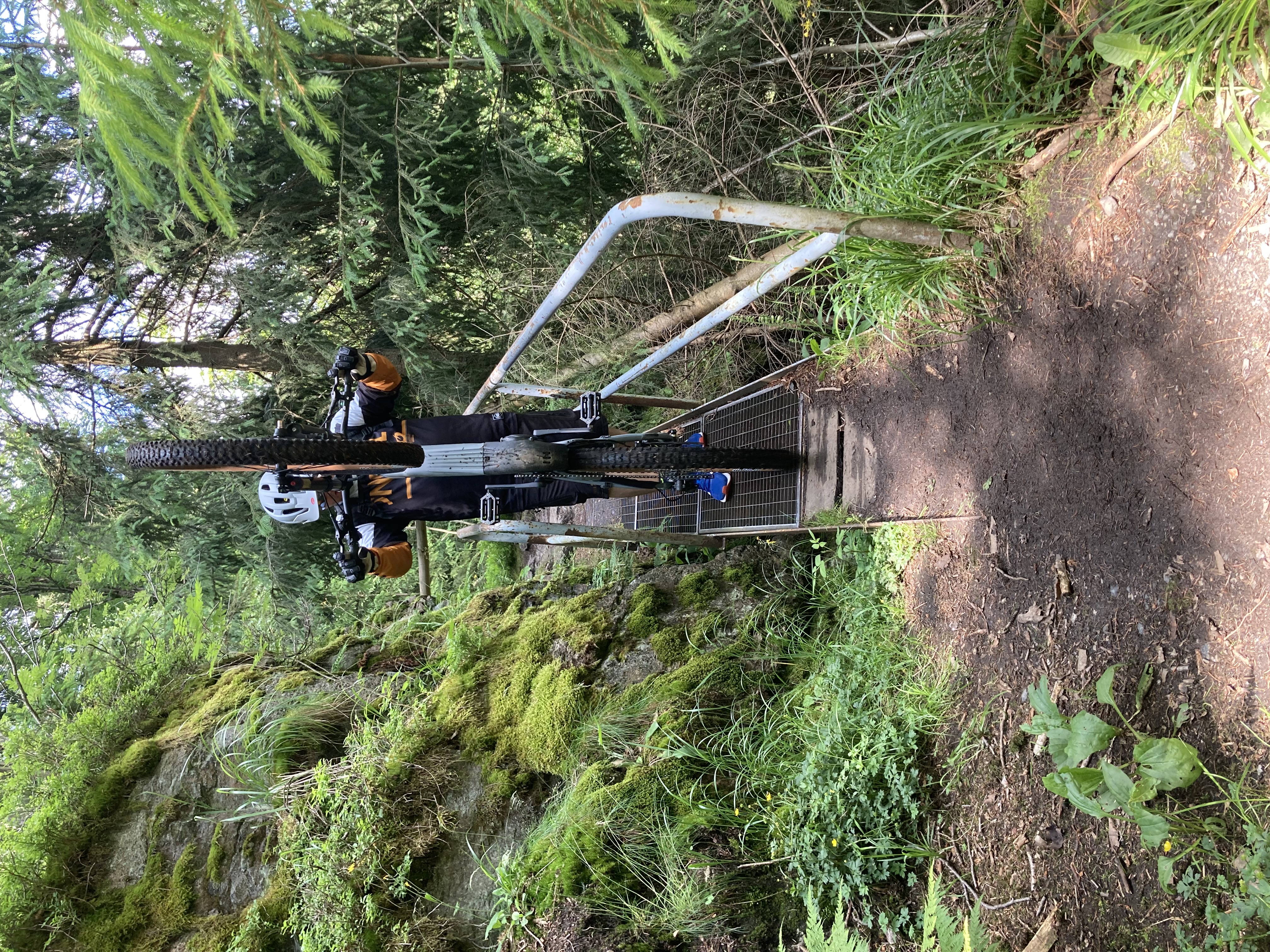
SLF Vaters Turm Denkmal Ehrenstein XC AM
A cycling route starting in Bad Blankenburg, Thuringia, Germany.
Overview
About this route
- -:--
- Duration
- 30.4 km
- Distance
- 645 m
- Ascent
- 644 m
- Descent
- ---
- Avg. speed
- 487 m
- Max. altitude
Route quality
Waytypes & surfaces along the route
Waytypes
Track
21.5 km
(71 %)
Road
4.3 km
(14 %)
Surfaces
Paved
7.9 km
(26 %)
Unpaved
20.1 km
(66 %)
Gravel
15 km
(49 %)
Asphalt
6.2 km
(21 %)
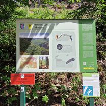
Route highlights
Points of interest along the route
Point of interest after 6.5 km
Dieebeskammer
Point of interest after 6.5 km
Vaters Turm
Point of interest after 6.7 km
Denkmal
Point of interest after 8.9 km
Wüstung Hopfgarten
Point of interest after 20.8 km
Festung Ehrenstein
Continue with Bikemap
Use, edit, or download this cycling route
You would like to ride SLF Vaters Turm Denkmal Ehrenstein XC AM or customize it for your own trip? Here is what you can do with this Bikemap route:
Free features
- Save this route as favorite or in collections
- Copy & plan your own version of this route
- Sync your route with Garmin or Wahoo
Premium features
Free trial for 3 days, or one-time payment. More about Bikemap Premium.
- Navigate this route on iOS & Android
- Export a GPX / KML file of this route
- Create your custom printout (try it for free)
- Download this route for offline navigation
Discover more Premium features.
Get Bikemap PremiumFrom our community
Other popular routes starting in Bad Blankenburg
 Bad Blankenburg - Burg Lauenstein 92 km
- Distance
- 91.1 km
- Ascent
- 1,608 m
- Descent
- 1,606 m
- Location
- Bad Blankenburg, Thuringia, Germany
 Schwarzatal
- Distance
- 13.5 km
- Ascent
- 796 m
- Descent
- 823 m
- Location
- Bad Blankenburg, Thuringia, Germany
 Zeigerheim 23A nach Zeigerheim 23A
- Distance
- 28.4 km
- Ascent
- 281 m
- Descent
- 325 m
- Location
- Bad Blankenburg, Thuringia, Germany
 Familienrunde bei Rudolstadt
- Distance
- 24.5 km
- Ascent
- 262 m
- Descent
- 261 m
- Location
- Bad Blankenburg, Thuringia, Germany
 Bad Blankenburg-Schwarzatal
- Distance
- 29.8 km
- Ascent
- 856 m
- Descent
- 856 m
- Location
- Bad Blankenburg, Thuringia, Germany
 Schwarzatal - Etappe 1
- Distance
- 26.2 km
- Ascent
- 773 m
- Descent
- 656 m
- Location
- Bad Blankenburg, Thuringia, Germany
 Jakobsweg per Rad (Potsdam - Santiago) Teil 04a
- Distance
- 17 km
- Ascent
- 262 m
- Descent
- 148 m
- Location
- Bad Blankenburg, Thuringia, Germany
 2016-07-02: Schwarza - Saale -Orla - Saale - Schwarza
- Distance
- 74.3 km
- Ascent
- 304 m
- Descent
- 304 m
- Location
- Bad Blankenburg, Thuringia, Germany
Open it in the app