


3ª Etapa CCCS 12/04/2015
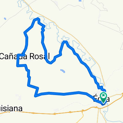
- 52.3 km
- 276 m
- 276 m
- Écija, Andalusia, Spain
A cycling route starting in Écija, Andalusia, Spain.
Overview
ECIJA - ASTIGI - ITV- CAMINO LA RAMBLA - LA CULEBRILLA - LA GUIJARROSA - AVE - CAMPO TIRO - VENTA EL EMPALME - CERRO PEREA - CAÑÁ PAQUILLO - ESCOMBRERA - VIA VERDE - ECIJA
created this 4 years ago
Continue with Bikemap
You would like to ride BTT 14-11-2021 or customize it for your own trip? Here is what you can do with this Bikemap route:
Free trial for 3 days, or one-time payment. More about Bikemap Premium.
Discover more Premium features.
Get Bikemap PremiumFrom our community
Open it in the app


