

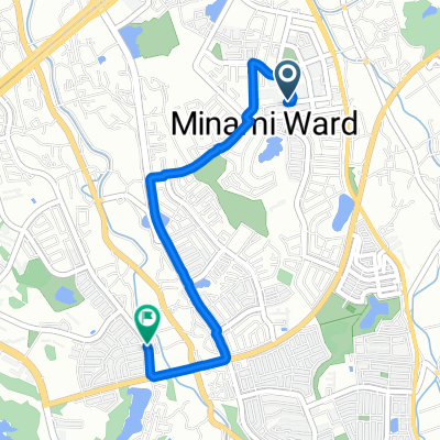
蜻蛉池公園
A cycling route starting in Izumi, Osaka, Japan.
Overview
About this route
- 27 min
- Duration
- 4.5 km
- Distance
- 7 m
- Ascent
- 10 m
- Descent
- 10 km/h
- Avg. speed
- ---
- Max. altitude

Route photos

Continue with Bikemap
Use, edit, or download this cycling route
You would like to ride 蜻蛉池公園 or customize it for your own trip? Here is what you can do with this Bikemap route:
Free features
- Save this route as favorite or in collections
- Copy & plan your own version of this route
- Sync your route with Garmin or Wahoo
Premium features
Free trial for 3 days, or one-time payment. More about Bikemap Premium.
- Navigate this route on iOS & Android
- Export a GPX / KML file of this route
- Create your custom printout (try it for free)
- Download this route for offline navigation
Discover more Premium features.
Get Bikemap PremiumFrom our community
Other popular routes starting in Izumi
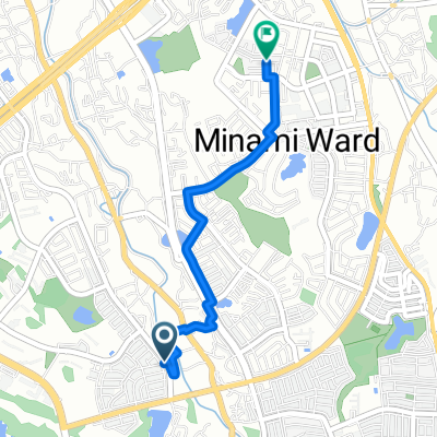 城山台3丁目, 堺市へ原山台5丁目, 堺市
- Distance
- 3 km
- Ascent
- 27 m
- Descent
- 35 m
- Location
- Izumi, Osaka, Japan
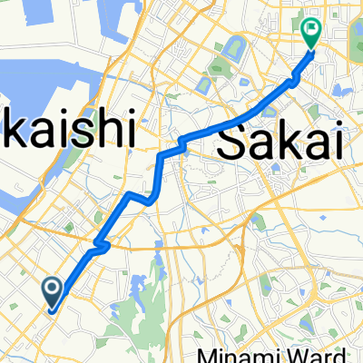
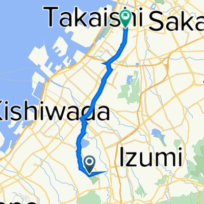 岸和田市 to 堺市
- Distance
- 14.3 km
- Ascent
- 0 m
- Descent
- 31 m
- Location
- Izumi, Osaka, Japan
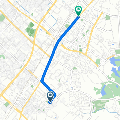 府中町5丁目, 和泉市へ尾井町2丁目, 和泉市
- Distance
- 2.9 km
- Ascent
- 3 m
- Descent
- 14 m
- Location
- Izumi, Osaka, Japan
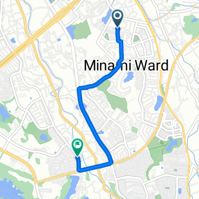 南区, 堺市へ城山台3丁目, 堺市
- Distance
- 3.3 km
- Ascent
- 38 m
- Descent
- 26 m
- Location
- Izumi, Osaka, Japan
 東豊中町3丁目, 泉大津市へ長曽根町, 堺市
- Distance
- 13.4 km
- Ascent
- 71 m
- Descent
- 68 m
- Location
- Izumi, Osaka, Japan
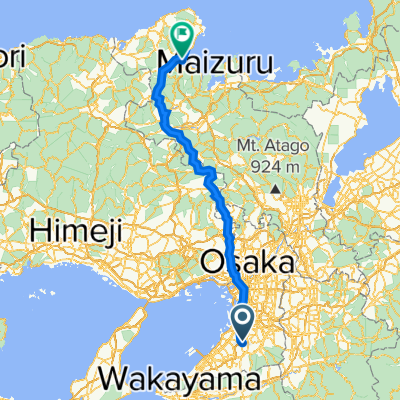 5丁 1, 堺市 to Unnamed Road, 宮津市
- Distance
- 166.5 km
- Ascent
- 4,885 m
- Descent
- 4,965 m
- Location
- Izumi, Osaka, Japan
 原山台5丁目, 堺市へ城山台3丁目, 堺市
- Distance
- 3.5 km
- Ascent
- 34 m
- Descent
- 33 m
- Location
- Izumi, Osaka, Japan
 オープンファクトリー散走 コース1
- Distance
- 10.8 km
- Ascent
- 41 m
- Descent
- 101 m
- Location
- Izumi, Osaka, Japan
Open it in the app