

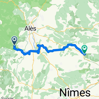
col du Mercou-col de l'Asclier
A cycling route starting in Anduze, Occitanie, France.
Overview
About this route
1
Ride in the Cévennes
start on the old St Hyppo road;
passing through Barafort, a narrow road with some steep sections;
Col du Mercou, pleasant with a south wind;
narrow descent and immediate link onto the climb of Col de l'Asclier;
wooded and narrow road;
magnificent views during the climb and especially at the pass and on the descent to Col de la Triballe;
difficult climb to St Roman de Codières with fairly long sections at 8-10%;
return to Anduze quite easy;
For once, the elevation gain calculation matches better the altimeter readings showing 1810m, the distance is still accurate.
- -:--
- Duration
- 95.4 km
- Distance
- 1,654 m
- Ascent
- 1,654 m
- Descent
- ---
- Avg. speed
- ---
- Max. altitude
domino07
created this 15 years ago
Route highlights
Points of interest along the route
Point of interest after 17.8 km
Fontaine de l'amour... eau potable à la sortie de Lasalle
Point of interest after 43 km
Source sous la route avec table pique-nique (à confirmer, je ne m'y suis pas arrêté, juste aperçu)
Point of interest after 43.2 km
Panorama sur l'Aigoual
Point of interest after 51.3 km
Panorama sur la vallée de St martial culture de l'oignon doux des Cévennes (AOC)
Continue with Bikemap
Use, edit, or download this cycling route
You would like to ride col du Mercou-col de l'Asclier or customize it for your own trip? Here is what you can do with this Bikemap route:
Free features
- Save this route as favorite or in collections
- Copy & plan your own version of this route
- Split it into stages to create a multi-day tour
- Sync your route with Garmin or Wahoo
Premium features
Free trial for 3 days, or one-time payment. More about Bikemap Premium.
- Navigate this route on iOS & Android
- Export a GPX / KML file of this route
- Create your custom printout (try it for free)
- Download this route for offline navigation
Discover more Premium features.
Get Bikemap PremiumFrom our community
Other popular routes starting in Anduze


Open it in the app