


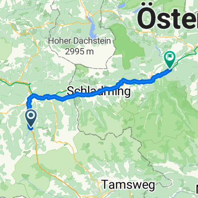
1. Flachau nach Öblarn
- 66.4 km
- 888 m
- 1,242 m
- Flachau, Salzburg, Austria
A cycling route starting in Flachau, Salzburg, Austria.
Overview
Characteristics:
Mountain bike tour with long sections on paved bike paths and a final climb on gravel roads to the beautiful alpine pasture area of Trinkeralm
Start and finish point:
Tourism office Flachau
Route description:
Start the tour at the tourism office in Flachau - passing the village café then left towards the mini golf course – follow the signposted Ennsradweg bike path towards Altenmarkt and continue towards Radstadt - pass the high school in Radstadt - at km 12.8 turn right at the sawmill - pass the Krakowsky car dealership and the Billa supermarket - at the next roundabout turn left (3rd exit) towards Forstau - approximately 4 km moderate ascent on the country road towards Forstau - at km 16.9 turn right towards Fageralm / Trinkeralm (turn right) - at km 17.9 the asphalt road changes into a gravel path - at km 25.1 the turnaround and highest point of the tour is reached - return to Flachau on the same route
created this 14 years ago
Route quality
Track
21.4 km
(43 %)
Quiet road
11.4 km
(23 %)
Paved
32.3 km
(65 %)
Unpaved
13.4 km
(27 %)
Asphalt
32.3 km
(65 %)
Gravel
13.4 km
(27 %)
Undefined
4 km
(8 %)
Route highlights
Fun & Pro Bikeacademy: geführte Biketouren, Bikeverleih und Bikeservice
wundervolle Almlandschaft
Einkehrmöglichkeit: Trinkeralm
Continue with Bikemap
You would like to ride Altenmarkt - Radstadt - Trinkeralm or customize it for your own trip? Here is what you can do with this Bikemap route:
Free trial for 3 days, or one-time payment. More about Bikemap Premium.
Discover more Premium features.
Get Bikemap PremiumFrom our community
Open it in the app


