
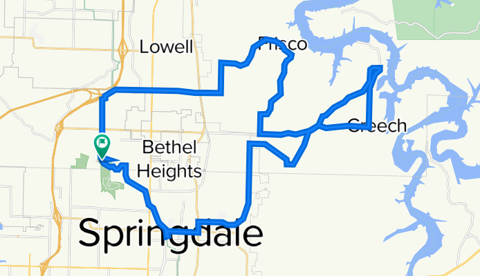
Lake Springdale - Frisco Cemetery
A cycling route starting in Bethel Heights, Arkansas, United States of America.
Overview
About this route
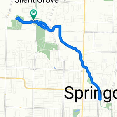
Thunder Chicken Trailhead to Frisco Church Rd, Beaver Lake & back
- -:--
- Duration
- 47.2 km
- Distance
- 287 m
- Ascent
- 289 m
- Descent
- ---
- Avg. speed
- 437 m
- Max. altitude
Route quality
Waytypes & surfaces along the route
Waytypes
Quiet road
16.3 km
(34 %)
Road
11.7 km
(25 %)
Surfaces
Paved
10.7 km
(23 %)
Unpaved
2.1 km
(5 %)
Asphalt
4.7 km
(10 %)
Concrete
4.5 km
(9 %)
Continue with Bikemap
Use, edit, or download this cycling route
You would like to ride Lake Springdale - Frisco Cemetery or customize it for your own trip? Here is what you can do with this Bikemap route:
Free features
- Save this route as favorite or in collections
- Copy & plan your own version of this route
- Sync your route with Garmin or Wahoo
Premium features
Free trial for 3 days, or one-time payment. More about Bikemap Premium.
- Navigate this route on iOS & Android
- Export a GPX / KML file of this route
- Create your custom printout (try it for free)
- Download this route for offline navigation
Discover more Premium features.
Get Bikemap PremiumFrom our community
Other popular routes starting in Bethel Heights
 Lake Springdale - Frisco Cemetery
- Distance
- 47.2 km
- Ascent
- 287 m
- Descent
- 289 m
- Location
- Bethel Heights, Arkansas, United States of America
 further north to the office
- Distance
- 14.4 km
- Ascent
- 73 m
- Descent
- 83 m
- Location
- Bethel Heights, Arkansas, United States of America
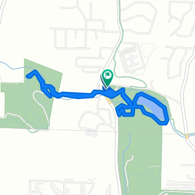 Recording from springdale lake February 17, 4:43 PM
- Distance
- 5.6 km
- Ascent
- 24 m
- Descent
- 22 m
- Location
- Bethel Heights, Arkansas, United States of America
 Recovered Route
- Distance
- 8.5 km
- Ascent
- 84 m
- Descent
- 76 m
- Location
- Bethel Heights, Arkansas, United States of America
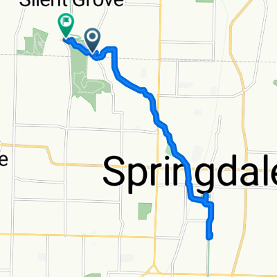 Springdale to Silent Grove Rd, Springdale
- Distance
- 13.8 km
- Ascent
- 88 m
- Descent
- 90 m
- Location
- Bethel Heights, Arkansas, United States of America
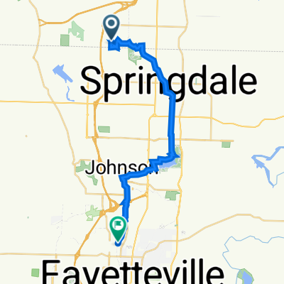 3303 N 40th St, Springdale to 1761 N Chestnut Ave, Fayetteville
- Distance
- 23.6 km
- Ascent
- 154 m
- Descent
- 149 m
- Location
- Bethel Heights, Arkansas, United States of America
 springdale lake to town square. June 5. 2016
- Distance
- 13.5 km
- Ascent
- 65 m
- Descent
- 66 m
- Location
- Bethel Heights, Arkansas, United States of America
 2431–2459 W Pump Station Rd, Springdale to 1763 N Chestnut Ave, Fayetteville
- Distance
- 22.7 km
- Ascent
- 928 m
- Descent
- 909 m
- Location
- Bethel Heights, Arkansas, United States of America
Open it in the app