
Plan your cycling route
Calculate your ride with Bikemap's free planner and get detailed estimations.

Plan, visualize, and experience your ride
Bikemap’s route planner visualizes your route on a detailed map with multiple style options, including Night, Mountain Bike, OpenCycleMap, and a stunning 3D view. Choose the map style that best suits your ride.

Essential insights for your ride
Alongside the interactive map view, you’ll get key route insights at a glance: total distance, estimated duration, and elevation details, including ascent, descent and maximum elevation. The elevation profile gives you a clear idea of what to expect along the way.

Surface & waytypes at a glance
You’ll also see information about the waytypes and surface types on your route – from smooth asphalt to gravel and natural tracks – so you can tailor your ride to your bike and preferences.

Just looking for quick inspiration?
The Loop Planner in the iOS and Android app instantly creates a ride starting from your current location. Choose your distance, direction, and routing style – whether you’re in the mood for road, gravel, or a relaxed cruise.
Routing options
Plan the perfect route for your ride
Our route planner offers a variety of routing options tailored to different riding styles, preferences, and bike types. Whether you’re looking for a fast-paced road bike experience, a relaxed ride with family, a smooth and safe commute, or an adventurous mountain ride, we’ve got you covered.


Plan a multi-day tour
Visualize your entire journey
With Bikemap’s Tour Planner, you can map out your full tour from start to finish in a single, streamlined workflow. Split your route into daily stages, adjust them to your needs, and save the whole tour as a collection. Get combined stats, a full elevation profile, and a color-coded overview that makes each stage easy to follow.

Take your route on a ride
What you can do with your planned route

Navigate on iOS and Android
Use turn-by-turn voice navigation on the Bikemap app for a seamless riding experience.

Embed a widget
Embed your favourite Bikemap routes into your personal blog or website with Bikemap’s interactive widget and inspire your readers. You can find the embed option after saving your route.

Sync with Garmin & Wahoo
Easily send your planned route to your Garmin or Wahoo device for on-the-go navigation on your bike computer. You can also edit your recorded rides directly in the Bikemap route planner.
Learn more about integrations
Print or export your route
Create a printable overview of your route to take as a backup or share with your community. Need more detail? Add extra pages to zoom in on key sections and highlight important segments of your ride. You can also download your route as GPX or KML to use with other apps, devices, or mapping tools.
Join our community
Share your route
- bfcic2021; Twickenham - Brighton 94km/57m


- Distance
- 93.9 km
- Ascent
- 615 m
- Descent
- 581 m
- Location
- Twickenham, England, United Kingdom
- From bike rental to Fushimi Inari Taisha


- Distance
- 4.1 km
- Ascent
- 24 m
- Descent
- 22 m
- Location
- Kyoto, Kyoto, Japan
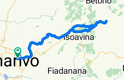
- ambohibary Dadou


- Distance
- 49 km
- Ascent
- 1,021 m
- Descent
- 1,041 m
- Location
- Antananarivo, Analamanga Region, Madagascar
- Vikas Nagar, Rohtak to Vikas Nagar, Rohtak


- Distance
- 12.8 km
- Ascent
- 132 m
- Descent
- 93 m
- Location
- Rohtak, Haryana, India
- De Barquisimeto a Barquisimeto


- Distance
- 52.6 km
- Ascent
- 311 m
- Descent
- 296 m
- Location
- Barquisimeto, Lara, Venezuela
- Rua Gomes da Silva, 106, Feira De Santana a Rua Frei Joaquim, 211, Feira De Santana

- Distance
- 32.2 km
- Ascent
- 211 m
- Descent
- 207 m
- Location
- Feira de Santana, Estado de Bahia, Brazil
- Der Drache II - Flatzer Wand Loop ohne Fahrverbote


- Distance
- 25.5 km
- Ascent
- 646 m
- Descent
- 646 m
- Location
- Ternitz, Lower Austria, Austria
- Financière Banque Nationale Circuit 35 km
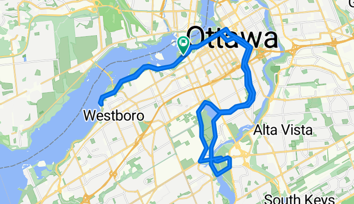
- Distance
- 33.1 km
- Ascent
- 117 m
- Descent
- 115 m
- Location
- Ottawa, Ontario, Canada
- Casa Grande to Scottsdale


- Distance
- 97 km
- Ascent
- 127 m
- Descent
- 172 m
- Location
- Casa Grande, Arizona, United States of America
- Gloggnitz Loop mit Päuschen (Restaurant) in Prigglitz


- Distance
- 28 km
- Ascent
- 420 m
- Descent
- 420 m
- Location
- Ternitz, Lower Austria, Austria
- alarobia ambatomanga


- Distance
- 59.4 km
- Ascent
- 861 m
- Descent
- 865 m
- Location
- Antananarivo, Analamanga Region, Madagascar
- Pelican Waters Resort to Kawana Farmers Markets


- Distance
- 41.3 km
- Ascent
- 139 m
- Descent
- 140 m
- Location
- Caloundra, Queensland, Australia
- Footscray to City / Capitol

- Distance
- 8.5 km
- Ascent
- 101 m
- Descent
- 88 m
- Location
- Footscray, Victoria, Australia
- Tucson to Casa Grande


- Distance
- 117.9 km
- Ascent
- 78 m
- Descent
- 395 m
- Location
- South Tucson, Arizona, United States of America
- The Tour of London from Putney


- Distance
- 55.2 km
- Ascent
- 299 m
- Descent
- 305 m
- Location
- Wandsworth, England, United Kingdom


Bikemap Explained
Learn how to make the most of Bikemap with our step-by-step tutorial videos. From planning the perfect route to navigating like a pro, our Bikemap Explained series walks you through all the features you need to elevate your cycling experience. Watch and ride with confidence!
Watch videos