
Plan your cycling route
Calculate your ride with Bikemap's free planner and get detailed estimations.

Plan, visualize, and experience your ride
Bikemap’s route planner visualizes your route on a detailed map with multiple style options, including Night, Mountain Bike, OpenCycleMap, and a stunning 3D view. Choose the map style that best suits your ride.

Essential insights for your ride
Alongside the interactive map view, you’ll get key route insights at a glance: total distance, estimated duration, and elevation details, including ascent, descent and maximum elevation. The elevation profile gives you a clear idea of what to expect along the way.

Surface & waytypes at a glance
You’ll also see information about the waytypes and surface types on your route – from smooth asphalt to gravel and natural tracks – so you can tailor your ride to your bike and preferences.

Just looking for quick inspiration?
The Loop Planner in the iOS and Android app instantly creates a ride starting from your current location. Choose your distance, direction, and routing style – whether you’re in the mood for road, gravel, or a relaxed cruise.
Routing options
Plan the perfect route for your ride
Our route planner offers a variety of routing options tailored to different riding styles, preferences, and bike types. Whether you’re looking for a fast-paced road bike experience, a relaxed ride with family, a smooth and safe commute, or an adventurous mountain ride, we’ve got you covered.


Plan a multi-day tour
Visualize your entire journey
With Bikemap’s Tour Planner, you can map out your full tour from start to finish in a single, streamlined workflow. Split your route into daily stages, adjust them to your needs, and save the whole tour as a collection. Get combined stats, a full elevation profile, and a color-coded overview that makes each stage easy to follow.

Take your route on a ride
What you can do with your planned route

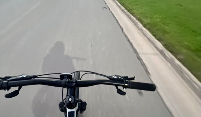
Navigate on iOS and Android
Use turn-by-turn voice navigation on the Bikemap app for a seamless riding experience.

Embed a widget
Embed your favourite Bikemap routes into your personal blog or website with Bikemap’s interactive widget and inspire your readers. You can find the embed option after saving your route.

Sync with Garmin & Wahoo
Easily send your planned route to your Garmin or Wahoo device for on-the-go navigation on your bike computer. You can also edit your recorded rides directly in the Bikemap route planner.
Learn more about integrations
Print or export your route
Create a printable overview of your route to take as a backup or share with your community. Need more detail? Add extra pages to zoom in on key sections and highlight important segments of your ride. You can also download your route as GPX or KML to use with other apps, devices, or mapping tools.
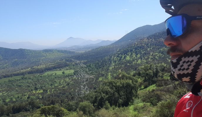
Join our community
Share your route
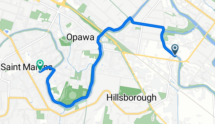
- Saint Catharines to Toronto Union Station


- Distance
- 125.4 km
- Ascent
- 460 m
- Descent
- 482 m
- Location
- St. Catharines, Ontario, Canada
- Ernest St, Manly to Stannard Rd, Manly West
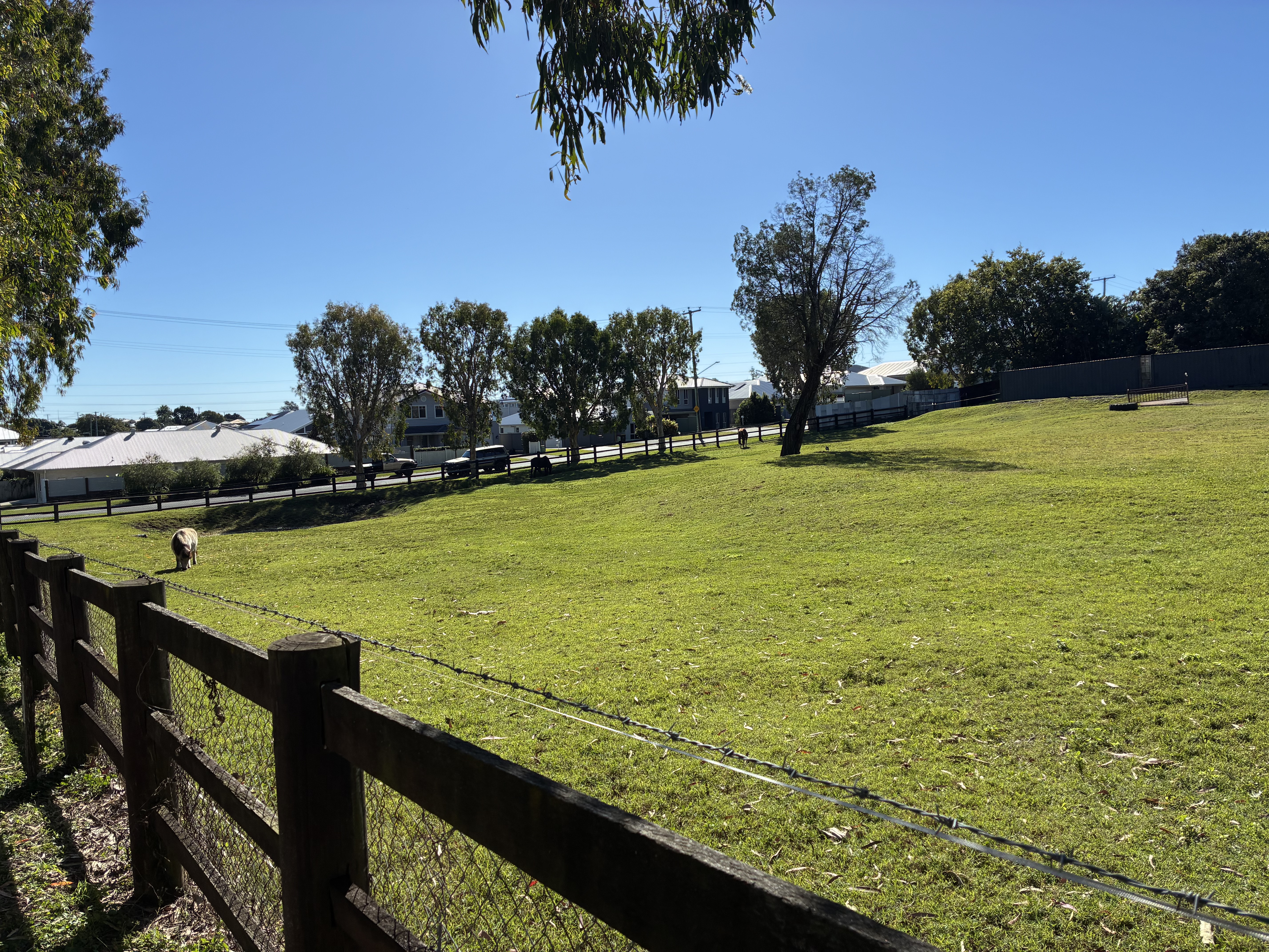


- Distance
- 19.9 km
- Ascent
- 125 m
- Descent
- 137 m
- Location
- Manly West, Queensland, Australia
- Southampton Street, London to Beadon Road, London
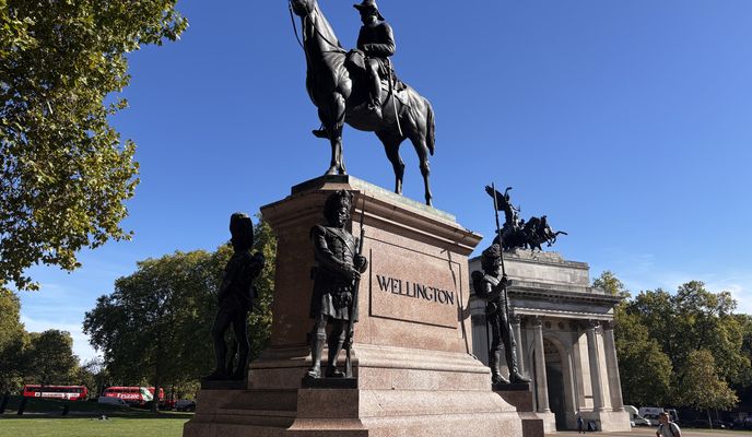

- Distance
- 13.6 km
- Ascent
- 77 m
- Descent
- 87 m
- Location
- London, England, United Kingdom
- 28.6. Villach - Kranjska Gora
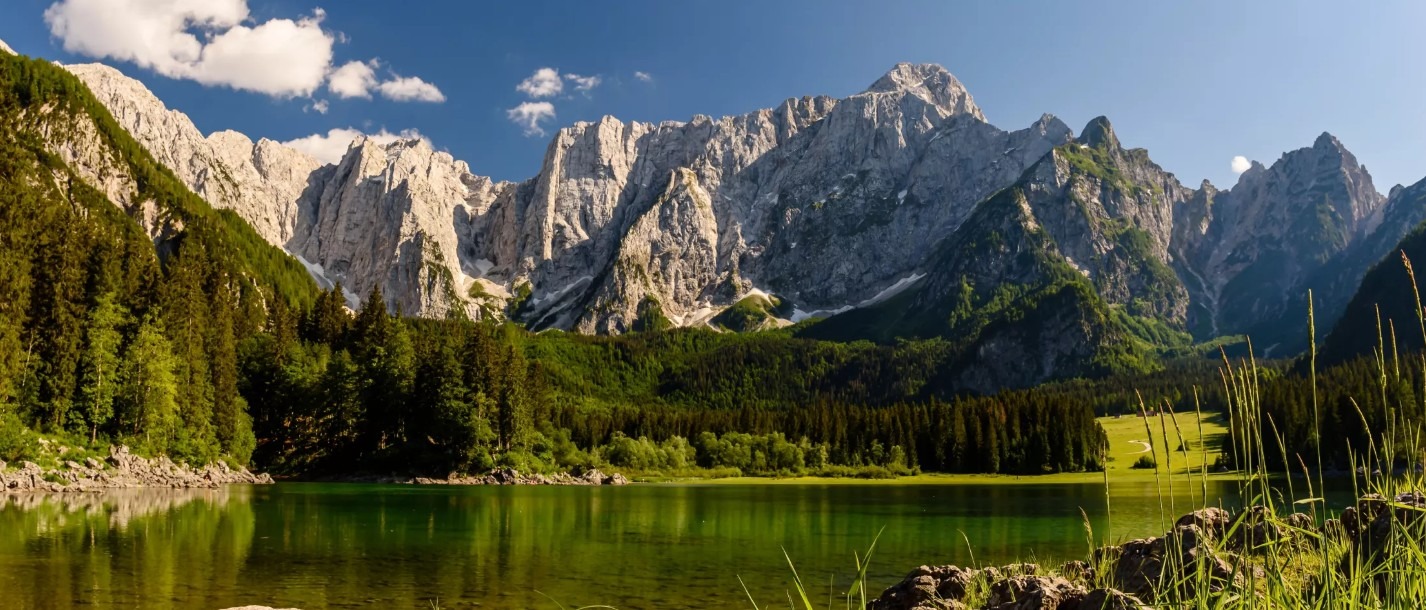


- Distance
- 62.1 km
- Ascent
- 1,272 m
- Descent
- 972 m
- Location
- Villach, Carinthia, Austria
- 2025.09.30 දින 1700 පැයේ සිට 1900 පැය දක්වා


- Distance
- 9.7 km
- Ascent
- 107 m
- Descent
- 106 m
- Location
- Valvettithurai, Northern Province, Sri Lanka
- Garlands Rd, Christchurch to Wilsons Rd South, Christchurch
- Distance
- 4.1 km
- Ascent
- 7 m
- Descent
- 3 m
- Location
- Christchurch, Canterbury, New Zealand
- Crescent Heights - Bow River South 30K
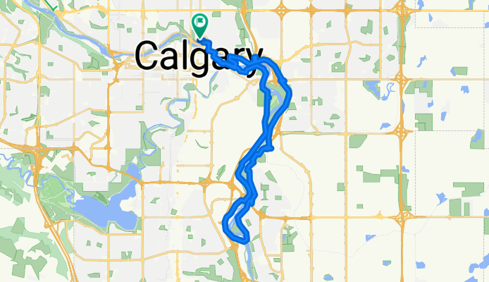
- Distance
- 32.9 km
- Ascent
- 121 m
- Descent
- 122 m
- Location
- Calgary, Alberta, Canada
- Linwood Avenue to Linwood Avenue

- Distance
- 12.4 km
- Ascent
- 66 m
- Descent
- 78 m
- Location
- Christchurch, Canterbury, New Zealand
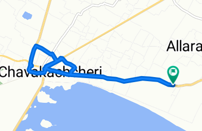
- 대저1동 ~ 대저2동 1260-10
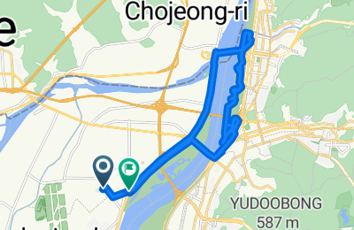
- Distance
- 21.6 km
- Ascent
- 77 m
- Descent
- 100 m
- Location
- Gimhae, Gyeongsangnam-do, South Korea
- Polegate, Eastbourne, Pevensey loop 17m


- Distance
- 28 km
- Ascent
- 79 m
- Descent
- 130 m
- Location
- Hailsham, England, United Kingdom
- reconocimento ant. norte sur

- Distance
- 35.1 km
- Ascent
- 924 m
- Descent
- 950 m
- Location
- Graneros, O'Higgins Region, Chile
- Whitney, Las Vegas to 4500 S Hollywood Blvd, Las Vegas


- Distance
- 3.9 km
- Ascent
- 35 m
- Descent
- 24 m
- Location
- Whitney, Nevada, United States
- 2025.10.01 වන දින 1700 පැයේ සිට 1900 පැය දක්වා

- Distance
- 9.1 km
- Ascent
- 129 m
- Descent
- 130 m
- Location
- Valvettithurai, Northern Province, Sri Lanka
- Avenida Salomón Gornitz, Villa Nueva a Catamarca, Villa María

- Distance
- 14 km
- Ascent
- 25 m
- Descent
- 27 m
- Location
- Villa Nueva, Cordoba Province, Argentina
- Circuit Artria musée à ciel ouvert


- Distance
- 52.3 km
- Ascent
- 239 m
- Descent
- 242 m
- Location
- Waterloo, Quebec, Canada
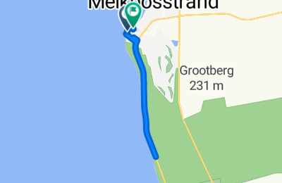
- 4th Avenue 48a to 4th Avenue 48a

- Distance
- 10.2 km
- Ascent
- 22 m
- Descent
- 54 m
- Location
- Sunset Beach, Western Cape, Republic of South Africa


Bikemap Explained
Learn how to make the most of Bikemap with our step-by-step tutorial videos. From planning the perfect route to navigating like a pro, our Bikemap Explained series walks you through all the features you need to elevate your cycling experience. Watch and ride with confidence!
Watch videos