
Roberto Fernandez Perez
- Location
- Spain
- Time on Bikemap
- Member since 4/2/2012
My routes
Planned and recorded rides


Collections and multi-stage tours
- Collection
Discover
My most popular routes

Etapa 1 Pirineos 2013 (144kms)
Cycling route in Saint-Lary-Soulan, Occitanie, France
Sant-Lary-Soulan - Hourquette d'Ancizan - Sainte-Marie de Campan - La Mongie - Col du Tourmalet - Luz-Saint-Sauver - Col du Tourmalet - Saint-Marie de Campan - Col d'Aspin - Arreau - Sant-Lary-Soulan
- 144.1 km
- Distance
- 0 m
- Ascent
- 0 m
- Descent

Burgos
Cycling route in Berzosilla, Castille and León, Spain
Cubillo - pto. Carrales - Cubillos del Rojo - Incinillas - Hocina - Valdenoceda - Alto de la Mazorra - Pesadas de Burgos - Villalta - Cernégula - Hontomín - Peñahoradada - Quintanaortuño - Sotopalacios - Quintanilla-Vivar - Villatoro - Burgos - Quintanadueñas - Arroyal - Mansilla de Burgos - Santib…
- 246.4 km
- Distance
- 1,293 m
- Ascent
- 1,281 m
- Descent
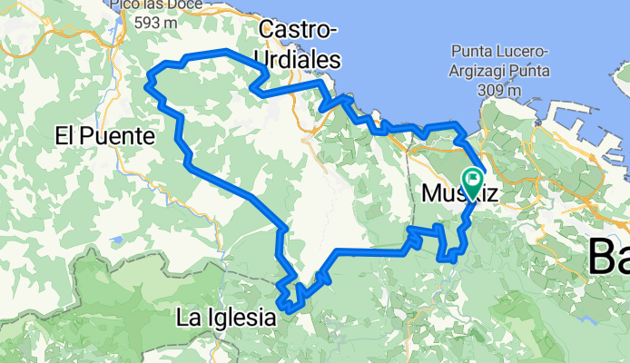
Muskiz - Cerredo
Cycling route in San Julián de Muskiz, Basque Country, Spain
Route that starts and finishes in Muskiz. It is quite demanding as it reaches Castro (Km 52), passing through forest and almost entirely on tracks. The return is gentler as it follows the national road to Ontón, where you join the Piquillo Greenway and the Itsaslur Greenway.
- 70.6 km
- Distance
- 1,705 m
- Ascent
- 1,705 m
- Descent
More routes from Spain
 17 Roses Palau-Savardera Pau Pedret Marzà Monestir-de-Sant-Quirze-de-Colera Garriguella Vilajuïga Vilaüt Ciutadella
- Distance
- 61.1 km
- Ascent
- 399 m
- Descent
- 399 m
- Location
- Roses, Catalonia, Spain
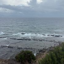 CIRCULAR PLAYA GUADALMESI
- Distance
- 28 km
- Ascent
- 688 m
- Descent
- 685 m
- Location
- Tarifa, Andalusia, Spain
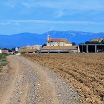
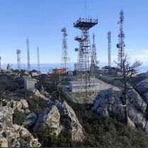 Subida Antenas Tajo de las Escobas
- Distance
- 11.2 km
- Ascent
- 430 m
- Descent
- 424 m
- Location
- Tarifa, Andalusia, Spain
 Anillo verde norte
- Distance
- 41.3 km
- Ascent
- 366 m
- Descent
- 360 m
- Location
- Chamberí, Madrid, Spain
 Avinguda del Port, Walencja do Avinguda del Port, Walencja
- Distance
- 85.2 km
- Ascent
- 126 m
- Descent
- 126 m
- Location
- Valencia, Valencia, Spain
 Villas la Ahumada.-Las Pozas de Carrizales
- Distance
- 9.2 km
- Ascent
- 61 m
- Descent
- 142 m
- Location
- Tarifa, Andalusia, Spain