- 39.5 km
- 514 m
- 268 m
- Szentgotthárd, Vas County, Hungary
őrségi kerékpártúra útvonal bejárás 1. nap
A cycling route starting in Szentgotthárd, Vas County, Hungary.
Overview
About this route
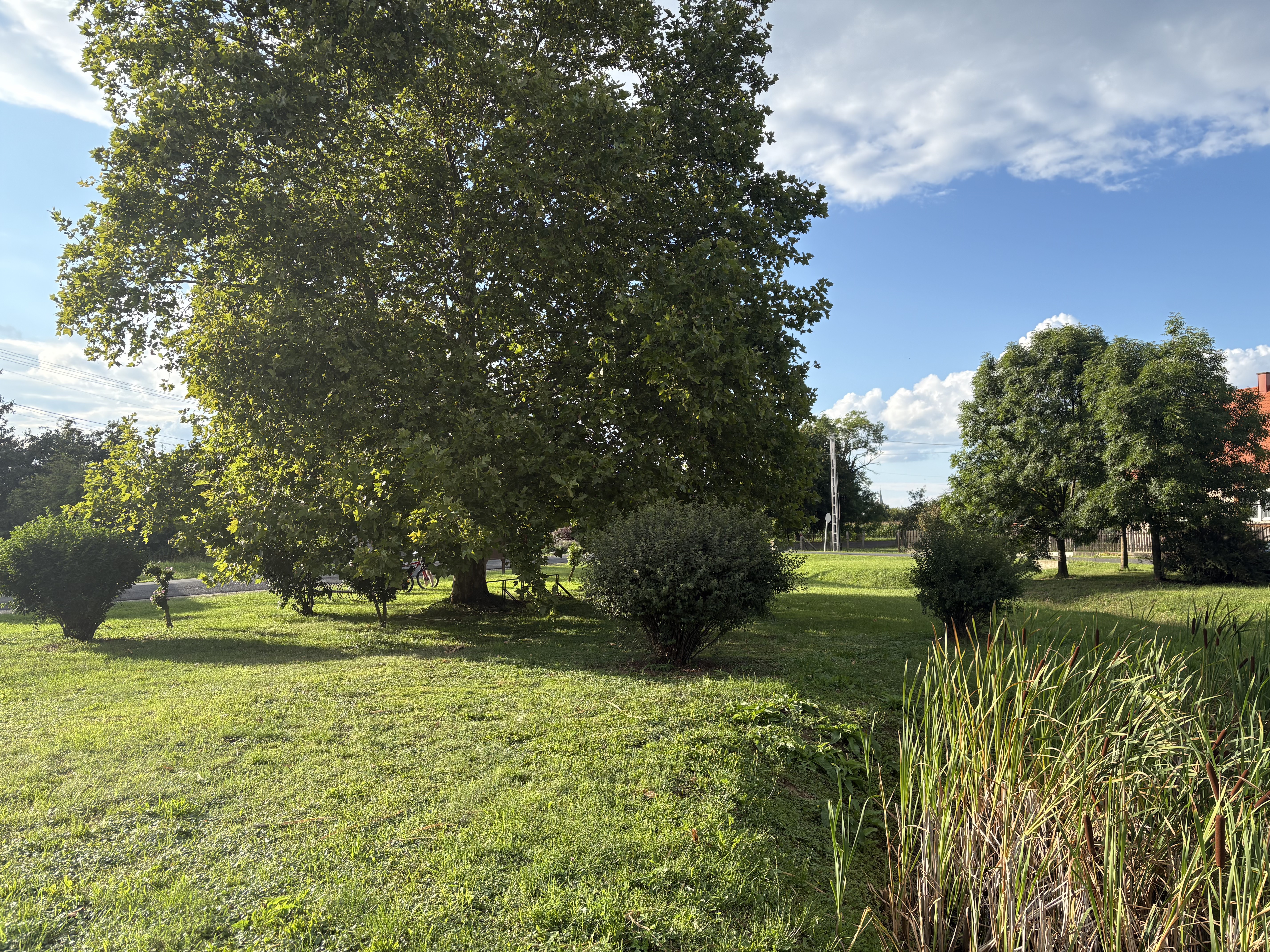
The Vendvidék, Őrség, and Vasi highland landscapes are simultaneously suited for awe and challenges. Hills, plateaus, gentle slopes, refreshing lakes, picturesque surroundings, untouched forests, built heritage, and hospitable people preserving the values and knowledge of their ancestors await cyclists.
- -:--
- Duration
- 90.9 km
- Distance
- 398 m
- Ascent
- 392 m
- Descent
- ---
- Avg. speed
- ---
- Max. altitude
created this 5 years ago
Route quality
Waytypes & surfaces along the route
Waytypes
Track
12.7 km
(14 %)
Quiet road
10 km
(11 %)
Surfaces
Paved
58.2 km
(64 %)
Unpaved
1.8 km
(2 %)
Asphalt
50.9 km
(56 %)
Paved (undefined)
7.3 km
(8 %)
Continue with Bikemap
Use, edit, or download this cycling route
You would like to ride őrségi kerékpártúra útvonal bejárás 1. nap or customize it for your own trip? Here is what you can do with this Bikemap route:
Free features
- Save this route as favorite or in collections
- Copy & plan your own version of this route
- Split it into stages to create a multi-day tour
- Sync your route with Garmin or Wahoo
Premium features
Free trial for 3 days, or one-time payment. More about Bikemap Premium.
- Navigate this route on iOS & Android
- Export a GPX / KML file of this route
- Create your custom printout (try it for free)
- Download this route for offline navigation
Discover more Premium features.
Get Bikemap PremiumFrom our community
Other popular routes starting in Szentgotthárd
- Bethlen Gábor utca, Szentgotthárd - Frutten, Straden
- Bethlen utca - Bethlen utca
- 122.4 km
- 492 m
- 546 m
- Szentgotthárd, Vas County, Hungary
- Őrihodos, Őrihodos - Bethlen Gábor utca, Szentgotthárd
- 31.2 km
- 192 m
- 244 m
- Szentgotthárd, Vas County, Hungary
- Bethlen Gábor utca, Szentgotthárd - Fő utca, Badacsonytomaj
- 153.5 km
- 881 m
- 1,010 m
- Szentgotthárd, Vas County, Hungary
- Bethlen Gábor utca, Szentgotthárd - Petőmihályfa
- 56.3 km
- 267 m
- 263 m
- Szentgotthárd, Vas County, Hungary
- 27. Szentgotthárd - Csákánydoroszló
- 67.9 km
- 568 m
- 594 m
- Szentgotthárd, Vas County, Hungary
- Bethlen utca - Bethlen utca
- 73.3 km
- 489 m
- 542 m
- Szentgotthárd, Vas County, Hungary
- Bethlen Gábor utca, Szentgotthárd - Bethlen Gábor utca, Szentgotthárd
- 156.1 km
- 1,103 m
- 1,096 m
- Szentgotthárd, Vas County, Hungary
Open it in the app


