

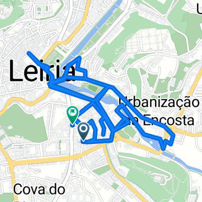
Leiria - Torre
A cycling route starting in Leiria, Leiria District, Portugal.
Overview
About this route
0
- -:--
- Duration
- 244.3 km
- Distance
- 4,459 m
- Ascent
- 2,570 m
- Descent
- ---
- Avg. speed
- ---
- Max. altitude
Montolivo
created this 15 years ago
Route quality
Waytypes & surfaces along the route
Waytypes
Quiet road
53.8 km
22 %
Road
31.8 km
13 %
Surfaces
Paved
129.5 km
(53 %)
Unpaved
9.8 km
(4 %)
Asphalt
122.2 km
50 %
Gravel
9.8 km
4 %
Continue with Bikemap
Use, edit, or download this cycling route
You would like to ride Leiria - Torre or customize it for your own trip? Here is what you can do with this Bikemap route:
Free features
- Save this route as favorite or in collections
- Copy & plan your own version of this route
- Split it into stages to create a multi-day tour
- Sync your route with Garmin or Wahoo
Premium features
Free trial for 3 days, or one-time payment. More about Bikemap Premium.
- Navigate this route on iOS & Android
- Export a GPX / KML file of this route
- Create your custom printout (try it for free)
- Download this route for offline navigation
Discover more Premium features.
Get Bikemap PremiumFrom our community
Other popular routes starting in Leiria
- Leiria - Acesso Ciclovia Rio Lis (loop) - Loop Rio Lis - Leiria (aprox.)1
- 5.6 km
- 100 m
- 102 m
- Leiria, Leiria District, Portugal
- 0
EDGE 1040®
260125 Fátima-Lagoa Boi-Arrabal 51km 840d+- 51.4 km
- 719 m
- 715 m
- Leiria, Leiria District, Portugal


Open it in the app