Donauwörth - Mestre
A cycling tour with 16 stages, starting in Donauwörth, Bavaria, Germany.
Overview
About this tour
This cycling tour has 16 stages and a total length of 722.5 km.
- 16
- Routes
- 43 h 22 min
- Duration
- 722.5 km
- Distance
- 16.7 km/h
- Avg. speed
- 1,777 m
- Ascent
- 2,182 m
- Descent
Donauwörth - Mestre
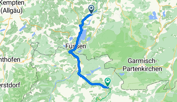
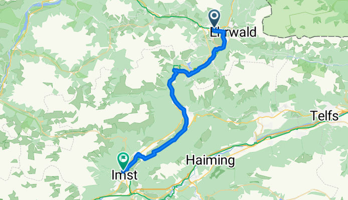
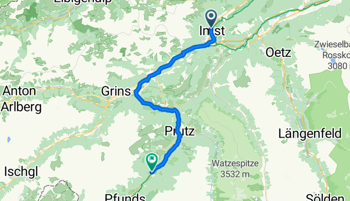
Stages of this tour
All 16 stages of this tour can be opened on the map or in the Bikemap App for more details, where you can adjust them in the route planner or download them as GPX or KML file. Use them as a template for planning your own tour, or let Bikemap navigate you along them directly.
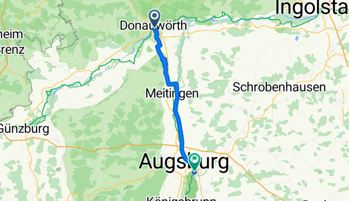
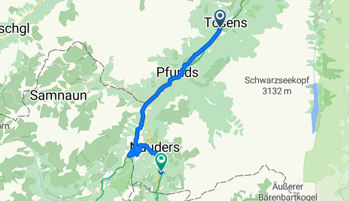
Donauwörth - Friedberg
Cycling route in Donauwörth, Bavaria, Germany
- 49 km
- Distance
- 74 m
- Ascent
- 0 m
- Descent
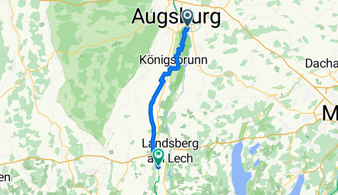
Friedberg - Unterdießen
Cycling route in Friedberg, Bavaria, Germany
- 45.5 km
- Distance
- 96 m
- Ascent
- 0 m
- Descent
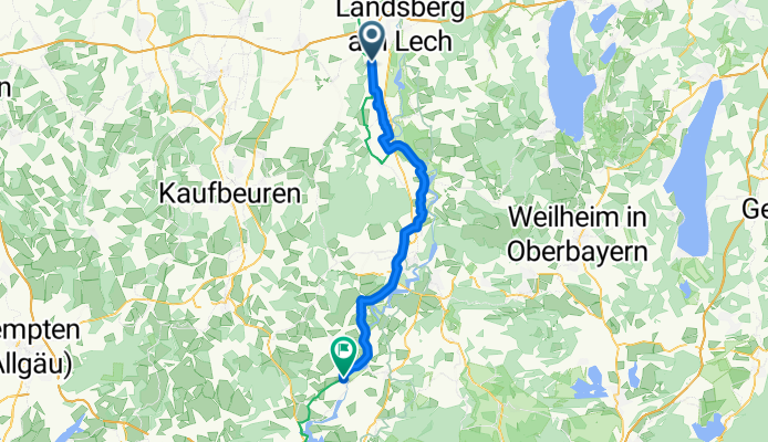
Unterdießen - Lechbruck
Cycling route in Unterdießen, Bavaria, Germany
- 46.5 km
- Distance
- 165 m
- Ascent
- 0 m
- Descent
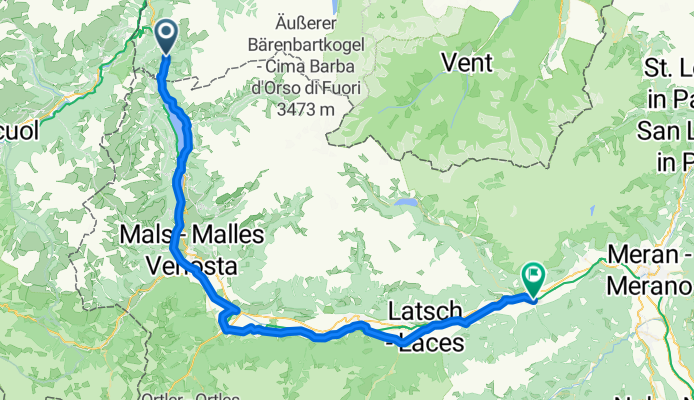
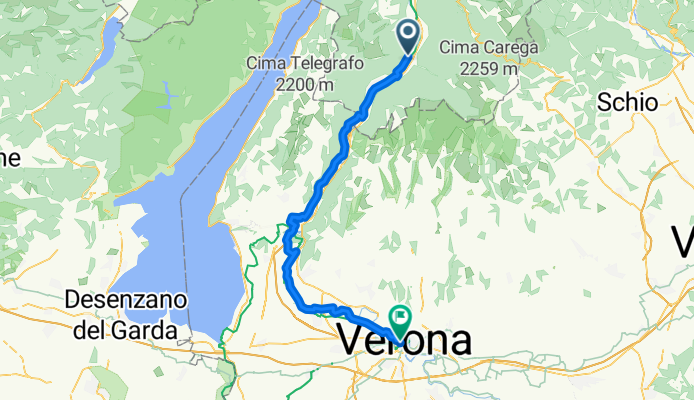
Naturns - Cornaiano
Cycling route in Naturns, Trentino-Alto Adige, Italy
- 46.5 km
- Distance
- 0 m
- Ascent
- 316 m
- Descent
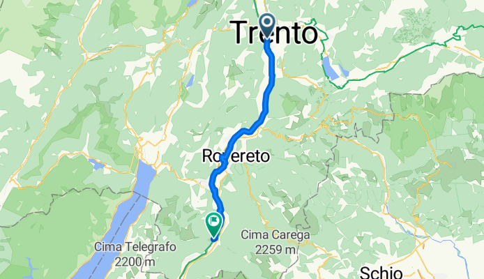
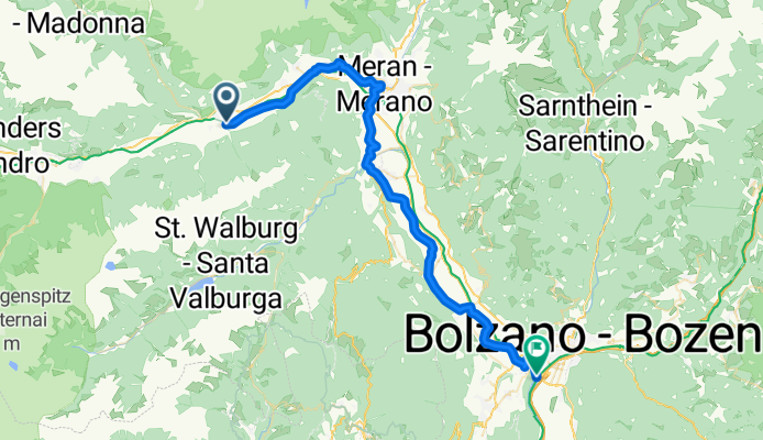
Cornaiano - Trento
Cycling route in Cornaiano, Trentino-Alto Adige, Italy
- 59.6 km
- Distance
- 0 m
- Ascent
- 60 m
- Descent