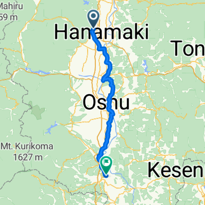
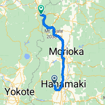
Cycling in Iwate
Discover a map of 125 cycling routes and bike trails in Iwate, created by our community.
Region portrait
Get to know Iwate
Find the right bike route for you through Iwate, where we've got 125 cycle routes to explore. Most people get on their bikes to ride here in the months of May and September.
6,633 km
Tracked distance
125
Cycle routes
From our community
The best bike routes in Iwate
Length of Japan Kitakami-Morioka
Cycling route in Kitakami, Iwate, Japan
- 59.4 km
- Distance
- 155 m
- Ascent
- 101 m
- Descent
一関・平泉 ― 磐井川沿いと整備された田園風景,国道4号 / Ichinoseki, Hiraizumi - Along Rv.Iwai, Arranged rice paddy and National Route 4
Cycling route in Ichinoseki, Iwate, Japan
行きは磐井川沿いに進んだ後,遊水池沿いの真っすぐな遊歩道を平泉に向けて進む。
平泉バイパスに出た後は国道の道なりに進む。軽く峠を上ると,長い下り坂に。
アップダウンは峠越えのポイントだけ。遊歩道の長い直線はスピードも出せて爽快疾走。
- 19.5 km
- Distance
- 95 m
- Ascent
- 93 m
- Descent
Discover more routes
- 宮城1000K_PC4 - PC5
- Distance
- 135.4 km
- Ascent
- 1,284 m
- Descent
- 1,280 m
- Location
- Kamaishi, Iwate, Japan
- 宮城1000K_PC2 - PC3
- Distance
- 76.2 km
- Ascent
- 282 m
- Descent
- 235 m
- Location
- Ichinoseki, Iwate, Japan
- 宮城1000K_PC3 - PC4
- Distance
- 87.9 km
- Ascent
- 1,006 m
- Descent
- 1,070 m
- Location
- Hanamaki, Iwate, Japan
- sendai - otsuchi
- Distance
- 215 km
- Ascent
- 1,181 m
- Descent
- 1,135 m
- Location
- Ōtsuchi, Iwate, Japan
- 平治屋敷, 栗原市 to 3丁目 4, 盛岡市
- Distance
- 104.8 km
- Ascent
- 612 m
- Descent
- 511 m
- Location
- Ichinoseki, Iwate, Japan
- hachinohehe
- Distance
- 116.7 km
- Ascent
- 1,631 m
- Descent
- 1,754 m
- Location
- Morioka, Iwate, Japan
- Tour du Japon Jour 6-7 / Morioka - Hanamaya
- Distance
- 140.5 km
- Ascent
- 777 m
- Descent
- 758 m
- Location
- Morioka, Iwate, Japan
- Tour du Japon - Jour 8-9 Hanayama - Funagata
- Distance
- 118 km
- Ascent
- 1,419 m
- Descent
- 1,467 m
- Location
- Morioka, Iwate, Japan
Cycling regions in Iwate
See where people are biking in Japan