


Cycling in Oberkatz
Discover a map of 12 cycling routes and bike trails near Oberkatz, created by our community.
Region portrait
Get to know Oberkatz
Find the right bike route for you through Oberkatz, where we've got 12 cycle routes to explore.
705 km
Tracked distance
12
Cycle routes
268
Population
Community
Most active users in Oberkatz
From our community
The best bike routes in and around Oberkatz
In der Hosset nach Zollnerstraße
Cycling route in Oberkatz, Thuringia, Germany
- 110.6 km
- Distance
- 736 m
- Ascent
- 887 m
- Descent
K2521 nach Zollnerstraße
Cycling route in Oberkatz, Thuringia, Germany
- 110.9 km
- Distance
- 733 m
- Ascent
- 894 m
- Descent
Discover more routes
- All routes in Oberkatz
- Round trips
- Relaxed
- Gravel
- Road
- MTB
- Trekking


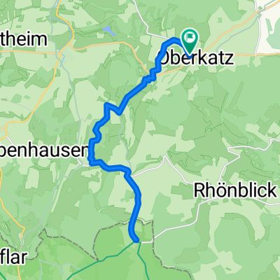 Unterkätzer Straße, Kaltennordheim nach Unterkätzer Straße, Kaltennordheim0
- 23.3 km
- 355 m
- 354 m
- Oberkatz, Thuringia, Germany


