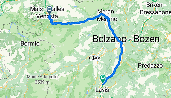
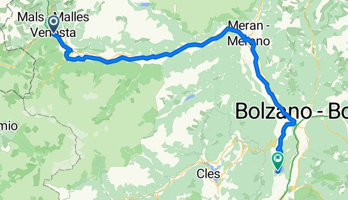
7 - Von Mals bis Bozen
- 142.7 km
- 1,561 m
- 1,667 m
- Glurns, Trentino-Alto Adige, Italy

Discover a map of 380 cycling routes and bike trails near Glurns, created by our community.
Region portrait
Find the right bike route for you through Glurns, where we've got 380 cycle routes to explore. Most people get on their bikes to ride here in the months of June and July.
30,437 km
Tracked distance
380
Cycle routes
835
Population
Handpicked routes
From our community


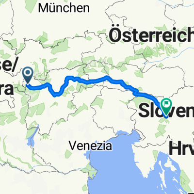
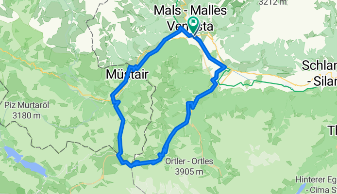
Cycling route in Glurns, Trentino-Alto Adige, Italy
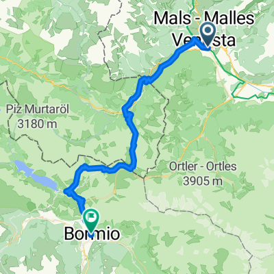
Cycling route in Glurns, Trentino-Alto Adige, Italy
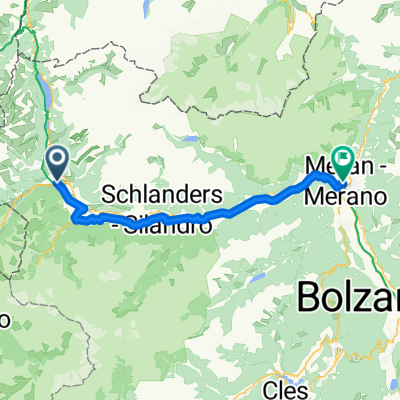
Cycling route in Glurns, Trentino-Alto Adige, Italy
Cycling route in Glurns, Trentino-Alto Adige, Italy
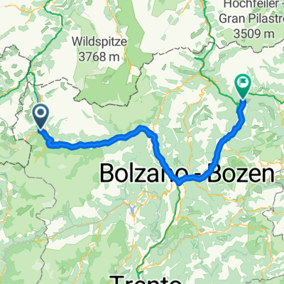
Cycling day trip from