
Cycling in San Antonio Virreyes
Discover a cycling-focused map of San Antonio Virreyes, featuring highlighted cycle paths, trails, and points of interest.
Be a pioneer
Inspire fellow cyclists with your route in San Antonio Virreyes
Bikemap is a global cycling community with millions of routes created by cyclists like you. There are only a few routes so far in San Antonio Virreyes, so plot your favourite rides on the map now to help others find the best ways to ride.
From our community
The best bike routes in and around San Antonio Virreyes

De Unnamed Road a Barrio de Guadalupe, Ciudad de Libres
Cycling route in San Antonio Virreyes, Puebla, Mexico
- 38.2 km
- Distance
- 615 m
- Ascent
- 552 m
- Descent
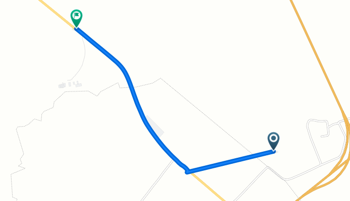
De Vía Sin Nombre a Acajete-Teziutlán
Cycling route in San Antonio Virreyes, Puebla, Mexico
- 2.7 km
- Distance
- 0 m
- Ascent
- 22 m
- Descent