
Cycling in Tenancingo de Degollado
Discover a map of 6 cycling routes and bike trails near Tenancingo de Degollado, created by our community.
Be a pioneer
Inspire fellow cyclists with your route in Tenancingo de Degollado
Bikemap is a global cycling community with millions of routes created by cyclists like you. There are only a few routes so far in Tenancingo de Degollado, so plot your favourite rides on the map now to help others find the best ways to ride.
From our community
The best bike routes in and around Tenancingo de Degollado
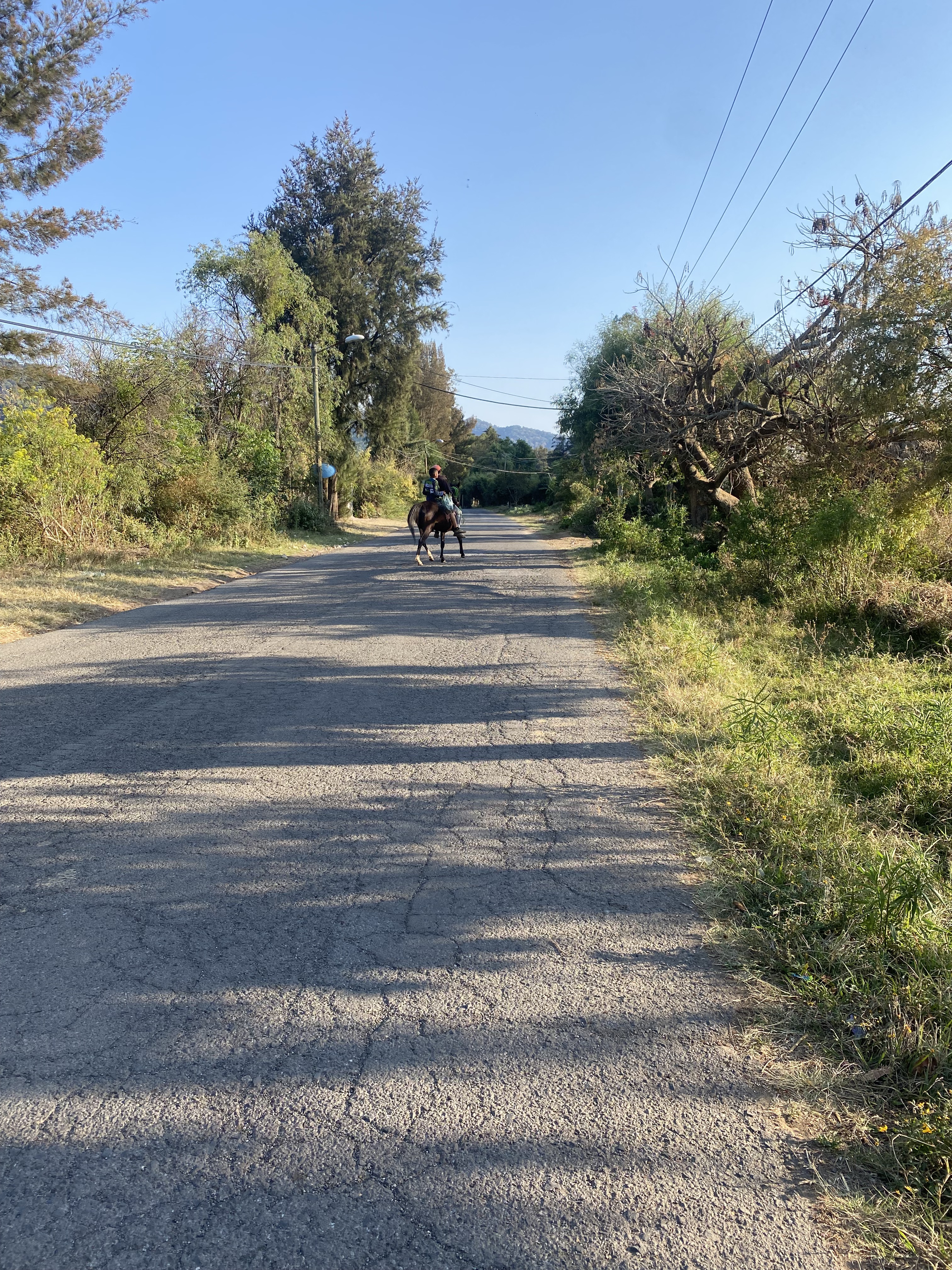

Último día en Tenancingo 👩🏽🔬
Cycling route in Tenancingo de Degollado, State of Mexico, Mexico
- 19.8 km
- Distance
- 329 m
- Ascent
- 324 m
- Descent

De Zaragoza Sur 118, Centro a Guillermo Prieto Norte 405, Tenancingo de Degollado
Cycling route in Tenancingo de Degollado, State of Mexico, Mexico
- 7.8 km
- Distance
- 219 m
- Ascent
- 203 m
- Descent

De Zaragoza Sur 118, Centro a Zaragoza Sur 117, Centro
Cycling route in Tenancingo de Degollado, State of Mexico, Mexico
- 27.4 km
- Distance
- 180 m
- Ascent
- 180 m
- Descent

De Zaragoza Sur 104, Centro a Paseo de los Insurgentes 62, Tenancingo de Degollado
Cycling route in Tenancingo de Degollado, State of Mexico, Mexico
- 5.1 km
- Distance
- 43 m
- Ascent
- 52 m
- Descent